
Official websites use .gov
A .gov
website belongs to an official government organization in the
United States.
Secure .gov websites use HTTPS
A lock
(
) or https:// means you've safely
connected to the .gov website. Share sensitive information only
on official, secure websites.


Forks Area Trail System
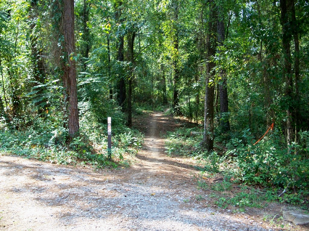
Located in the southern portion of the Long Cane Ranger District, the Forks Area Trail System (FATS) was designed with the mountain biking enthusiast in mind. Six stacked loops accessed from various locations, provide up to 34 miles of hiking or biking through a variety of topography and vegetation. Highlights of your visit could include panoramic views, glimpses of wildlife and a distinctive, large grouping of saw palmetto not normally seen in this part of South Carolina.
Please call the Call Before You Haul Hotline at 803-561-4025 for the latest trail updates before your visit.
Click here for a printable guide and vicinity map.
At a Glance
| Current Conditions: | Trail conditions change frequently. FATS has a wet weather closure policy in place—trails will be closed quickly to prevent resource damage from riding on wet trails. Before your visit, please call the Call Before You Haul Hotline at 803-561-4025 for the latest trail conditions and weather closures! |
|---|---|
| Restrictions: | During the first two weeks of deer gun season (mid –October) it is recommended that trail users ride in the afternoon. It is also recommended that riders wear hunter safety blaze orange during the entire rifle season for personal safety. The same applies for turkey season in the spring (April). There is no hunting on WMA lands on Sundays. Please refer to the SCDNR hunting regulations for additional information concerning South Carolina hunting seasons and dates: www.dnr.sc.gov |
| Water: | Water Available |
| Restroom: | Vault toilets |
General Information
Directions:From Augusta: From the South Carolina line at the Savannah River Bridge on Hwy 28, travel north for 1.2 miles. Turn right onto Hopewell Church Road (S 33-112) and travel 3.1 miles to stop sign. Turn right onto Woodlawn Road (S 19-53). Entrance is a dirt driveway on right less than .1 mile.
Activities
Mountain Biking
34 miles total, individual loops range from 4.0 miles to 7.5 milesDay Hiking
34 miles total, individual loops range from 4.0 miles to 7.5 milesPicnicking
Gravel parking lots, information board, picnic tables, garbage cans available
Related Links
Highlights
Location