
Official websites use .gov
A .gov
website belongs to an official government organization in the
United States.
Secure .gov websites use HTTPS
A lock
(
) or https:// means you've safely
connected to the .gov website. Share sensitive information only
on official, secure websites.


Aspen Grove Trail 2E05
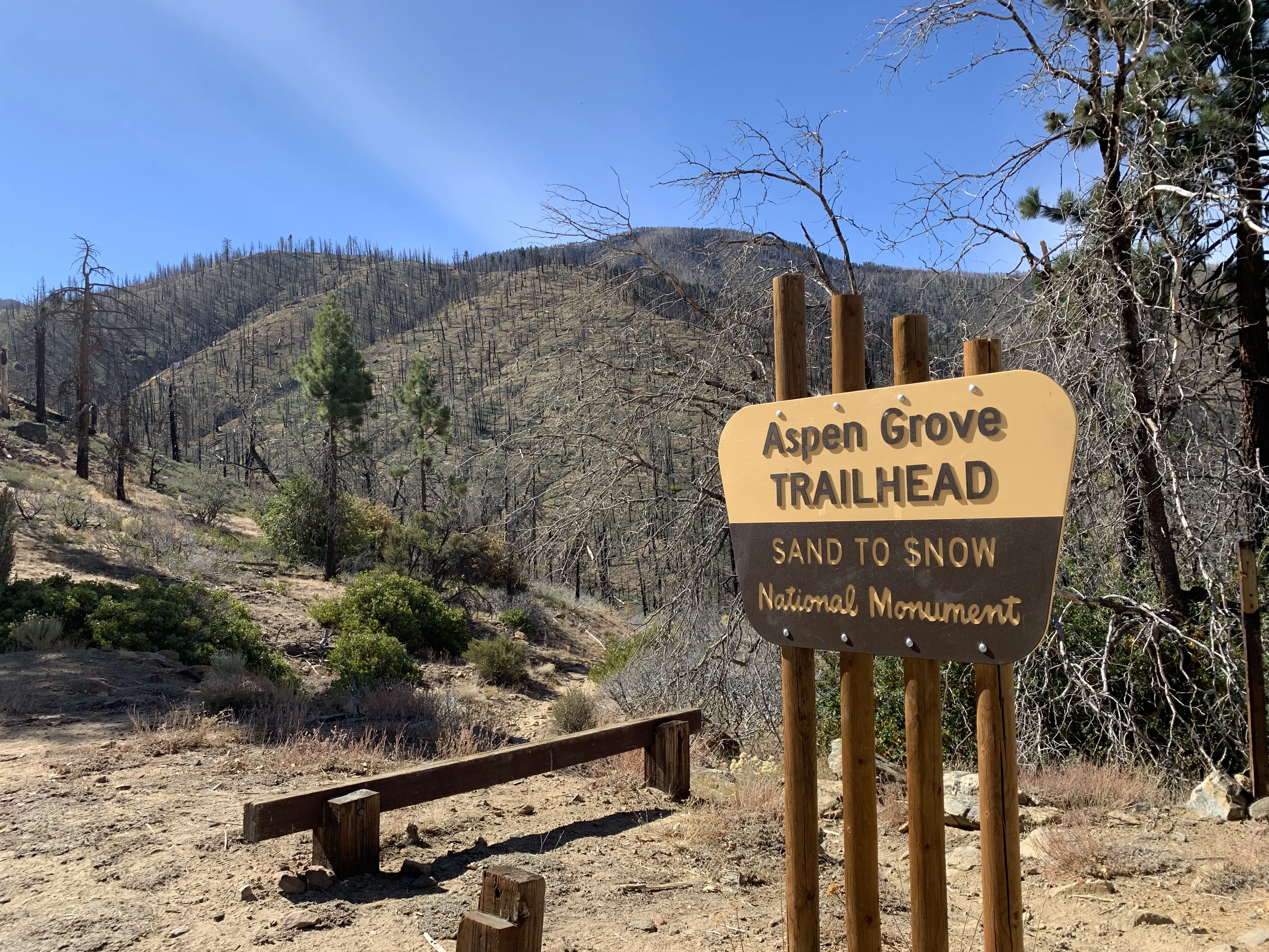
This trail offers quiet and the opportunity for the visitor to explore a small remnant grove of Quaking Aspens (Populus tremuloides), only found in one other location in California outside of the Sierra Nevada range. Quaking Aspens are particularly beautiful when they turn to gold in the fall (typically late September/early October). For this reason, if you plan on hiking this trail on a weekend in the fall, wilderness permit reservations are recommended (see the link below). This trail is in the Sand to Snow National Monument and within the San Gorgonio Wilderness and a wilderness permit is required.
At a Glance
| Current Conditions: |  A portion of the trail was burned over in the 2015 Lake Fire. Potential hazards include falling trees and limbs, loose rocks and ash pits. Portions of the trail may be damaged or blocked with debris. A portion of the trail was burned over in the 2015 Lake Fire. Potential hazards include falling trees and limbs, loose rocks and ash pits. Portions of the trail may be damaged or blocked with debris. |
|---|---|
| Permit Info: | Day use permits required. |
| Restrictions: |
 Pack out what you pack in and Leave no Trace! Pack out what you pack in and Leave no Trace! |
| Closest Towns: | Big Bear City, Angelus Oaks |
| Information Center: | Mountain Top Ranger District | Big Bear Discovery Center 40971 North Shore Drive, Highway 38 P.O. Box 69 Fawnskin, CA 92333 1-909-382-2790 Thursday thru Monday. (Closed Tuesdays and Wednesdays) |
General Information
Directions:Turn right (south) off Highway 38 about 6 miles east of the Barton Flats Visitor Center on Forest Service Road 1N02. Follow 1N02 until it forks right to 1N05. Go right up 1N05 (this is a rough un-maintained road not intended for low-slung autos) to the signed Aspen Grove Trail parking (7,400'), 2.6 miles in from Highway 38. These roads close in the winter after the first significant snowfall.
![]()
![]()
![]()
![]()
![]()
![]()
![]()
Activities
Day Hiking
1.98 milesBackpacking
Viewing Plants


Location