
Recreation
During the inception of national forest reserves in the late 1800s, the San Bernardino National Forest was recognized as one of the premier forests for recreation, and a top destination for people to escape their urban lives for a peaceful retreat in the mountains.
Now, with hundreds of miles of nationally recognized hiking trails, seven designated Wildernesses, 42 campgrounds, four winter recreation resorts, seven wild and scenic rivers, the two tallest mountains in Southern California, and one of the best destinations for off-highway vehicle riding, there is more than a lifetime of activities to do on the San Bernardino National Forest. Which adventure will you choose next?

Includes National Forest recreational activities along State Highway 38 in Mountain Home Village, Forest Falls, Angelus Oaks, Barton Flats, Seven Oaks, San Gorgonio Wi
Includes: National Forest recreation activities in the Big Bear lake, Holcomb Valley, Lone Valley and Bighorn Mountains Wilderness.
Includes: Lake Arrowhead, Lake Silverwood, Crestline, Running Springs, Green Valley Lake and Keller Peak recreational activities.
Includes the Lytle Creek, Cucamonga Canyon, Cajon Pass, and City Creek areas. Also includes the Cucamonga and Sheep Mountain Wilderness Areas.
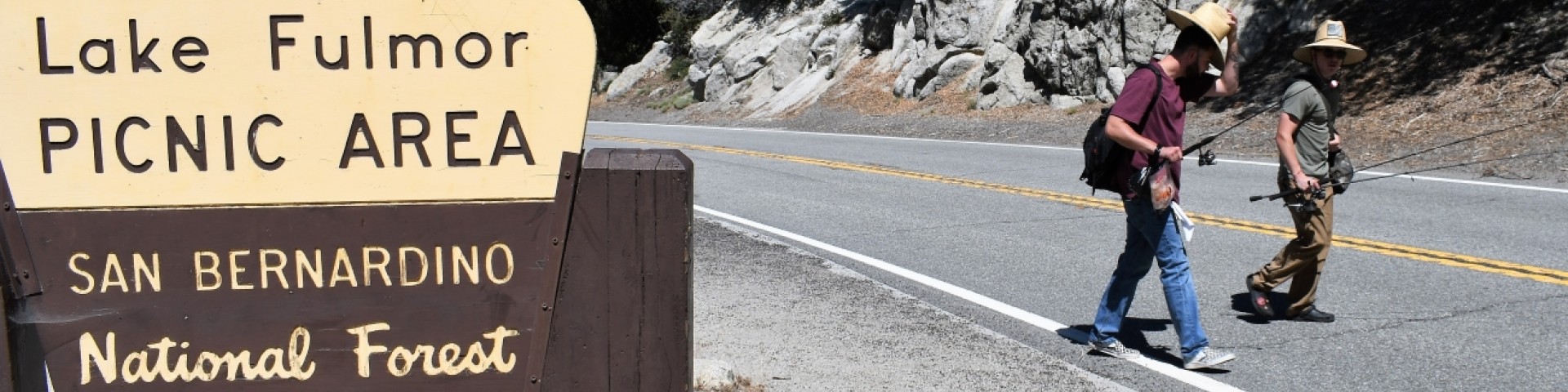
Includes Idyllwild, Pine Cove, Garner Valley and San Jacinto and Santa Rosa Mountains.
Rising abruptly from the desert floor, the Santa Rosa and San Jacinto Mountains National Monument reaches an elevation of 10,834 feet.