
Official websites use .gov
A .gov
website belongs to an official government organization in the
United States.
Secure .gov websites use HTTPS
A lock
(
) or https:// means you've safely
connected to the .gov website. Share sensitive information only
on official, secure websites.


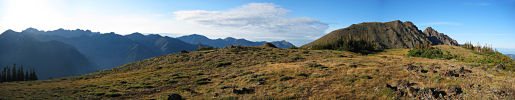
Buckhorn Wilderness
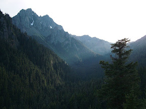
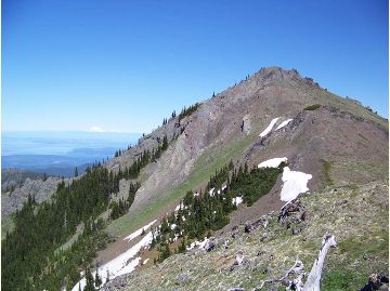
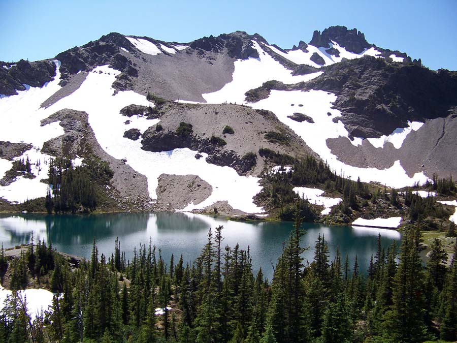
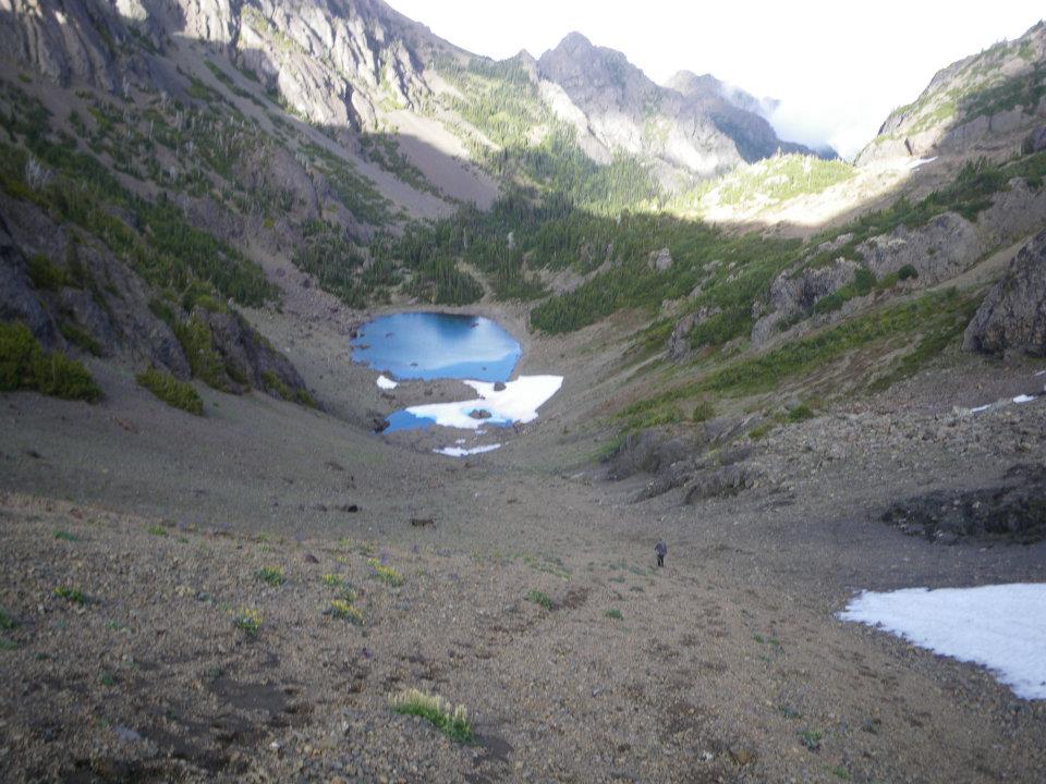
Buckhorn Wilderness is located in the northeast portion of the Olympic National Forest. A patented mining claim involving 216 acres of private land is within the Wilderness. This Wilderness encompasses 44, 258 acres and is the largest on the Olympic National Forest. It includes very steep terrain ranging in elevation from 1,000 feet near the Gray Wolf River, to the summit of Mt. Fricaba at 7,134 feet. Other major peaks include Buckhorn Mountain, 6,988', Iron Mountain, 6,950' and Tyler Peak 6,350'. Barren ridges and steep, rocky cliffs and peaks are common in the higher elevations.
Stands of old-growth Douglas-fir, western hemlock and western redcedar occur on the lower slopes. At the higher elevations, subalpine fir and western white pine give way to alpine meadows. The Gray Wolf, Dungeness and Big Quilcene Rivers are the major streams flowing through the Wilderness.
Please follow regulations and use Leave No Trace techniques to protect this unique area.
- Elevation Range: 1,000' to 7,134'
- Buckhorn Wilderness recreation opportunity guide (PDF)
- Key Access Points: Trail and trailhead access information
At a Glance
| Restrictions: | Wilderness regulations apply
|
|---|---|
| Passes: | Some trailheads require a valid recreation pass. Check the Recreation Passes and Permits page for details. |
| Operated By: | Forest Service |
| Information Center: | Hood Canal Ranger District- Quilcene |
General Information
Directions:This Wilderness is located in the North Hood Canal (area is unavailable) areas on the northest portion of the Olympic peninsula.
Trails that access Buckhorn Wilderness
- Tubal Cain Trail #840, This 8.6 miles trail is considered moderate.
- Tunnel Creek Trail #841, This 7.6 mile trail is considered difficult.
- Upper Dungeness Trail #833.2, This 8.1 mile trail is considered moderate.
- Upper Big Quilcene Trail #833.1, This 5.3 mile trail is considered moderate.
- Silver Lakes Trail #842, This 2.5 miles trail is considered moderate.
- Mt. Townsend Trail #839, This 6.7 mile trail is considered moderate.
Topo Maps
Tyler Peak USGS Quad or Buckhorn Wilderness Custom Correct map.
Download free U.S. Forest Service Topo maps.
Buy maps online
Go to the National Forest Store.
Wilderness.net
Go to Wilderness.net for online maps and other important Wilderness information.
Activities
Day Hiking
Over 58 miles of trail provide access to this Wilderness.
Backpacking
Over 58 miles of trail provide access to this Wilderness.
Horse Riding
Over 58 miles of trail provide access to this Wilderness.
Quick Links
Related Information
Location
