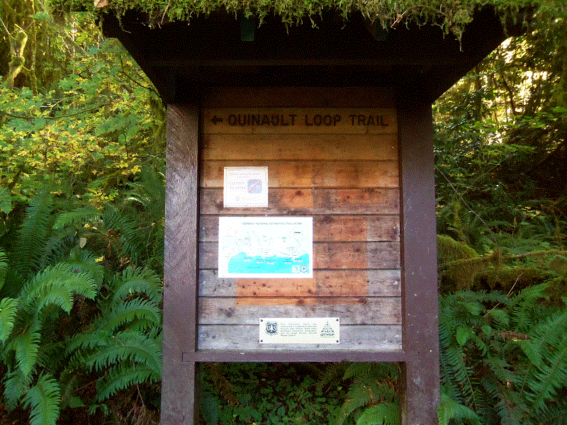
Quinault Loop Trail #854
Area Status: Open

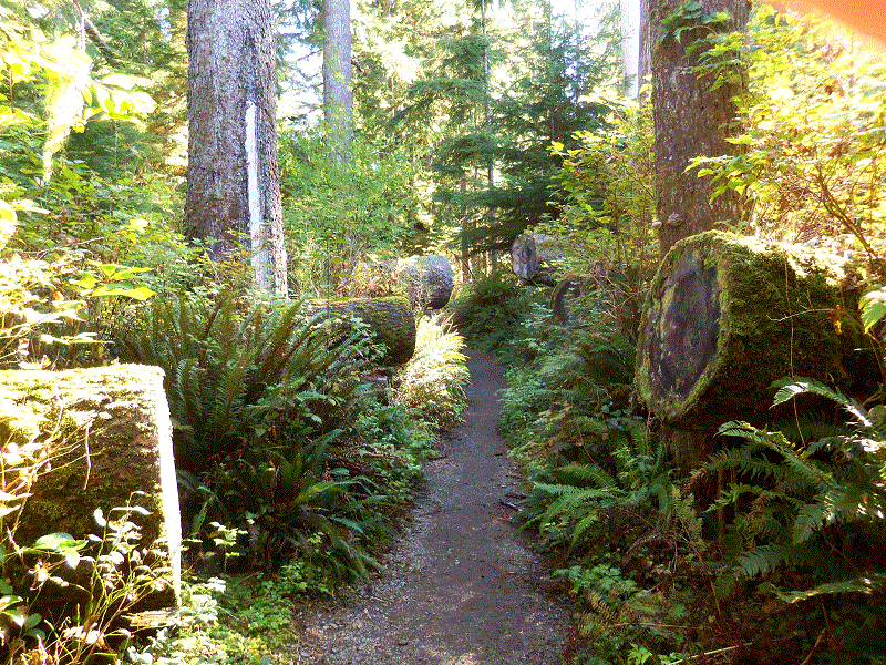
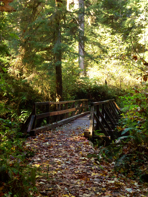
The Quinault Loop, locally known as the Rain Forest Nature Trail or 4 mile loop, has no beginning or ending point. Dense old-growth conifer forest with lush understory of rain forest vegetation. Excellent opportunity to view the Olympic temperate rain forest and Quinault Lake. 1.3 miles along the south shore of Quinault Lake and 2.7 miles are through the temperate rain forest. Points of interest include Cascade Falls, Cedar Bog, and interpretive Quinault Rain Forest Nature Trail.
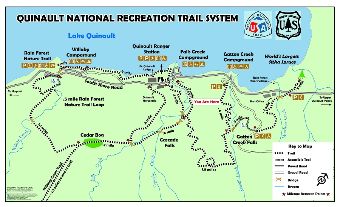
To view all segments of the Quinault National Recreation Trail System and learn more explore the Quinault National Recreation Trail System interactive map.
At a Glance
| Current Conditions: | Open year-round. |
|---|---|
| Open Season: | Year-round |
| Restrictions: | Motorized vehicles, mountain bikes, and stock are prohibited. |
| Closest Towns: | Aberdeen, WA |
| Passes: | A valid Recreation Pass is required at Quinault Rain Forest Trailhead. |
| Operated By: | Forest Service |
| Information Center: | Pacific Ranger District, Quinault office |
General Information
Directions:- Quinault Rain Forest Trailhead (Valid Recreation Pass required)
- Falls Creek South Shore Trailhead (No fee)
General Notes:


