
Official websites use .gov
A .gov
website belongs to an official government organization in the
United States.
Secure .gov websites use HTTPS
A lock
(
) or https:// means you've safely
connected to the .gov website. Share sensitive information only
on official, secure websites.


West Ash Picnic Area
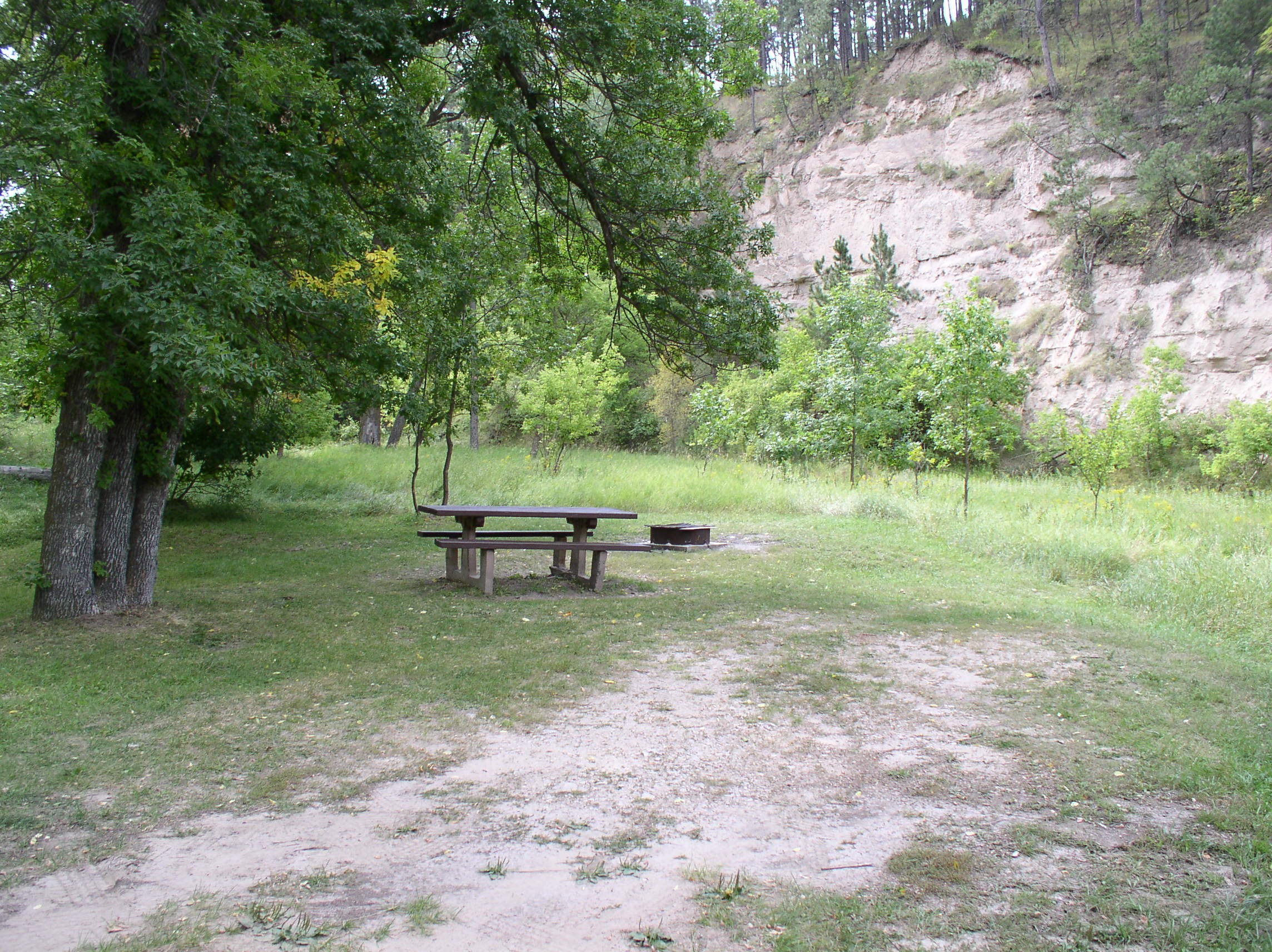
The picnic area is located along West Ash Creek just off of West Ash Road. There are two sites with picnic tables and fire rings. Access for the Pine Ridge Trail and the West Ash Trailhead is approximately 1/4 mile to the south.
Camping is allowed but there is no garbage service, so please pack it in and pack it out.
At a Glance
| Operational Hours: | Year-round |
|---|---|
| Reservations: | First come, first serve |
| Area Amenities: | Picnic tables |
| Fees: | No fee |
| Usage: | Light-Medium |
| Restrictions: | Certified noxious weed-free hay/feed is required on national forest lands. |
| Closest Towns: | Chadron, NE |
| Water: | No |
| Restroom: | No |
| Operated By: | Forest Service |
| Information Center: | Pine Ridge Ranger District (308) 432-0300 |
General Information
Directions:From intersection of Highway 385 and Highway 20, south on Highway 385, 13.5 miles to Table Road. Turn west and continue 13 miles on Table Road to West Ash Creek Road. Continue on West Ash Creek Road 2.5 miles to West Ash Creek Trailhead.
Activities
Dispersed Camping
Day Hiking
Access to the Pine Ridge Trail in the Pine Ridge National Recreation Area.| Difficulty Level: | Intermediate |
|---|
Horse Riding
Picnicking

Related Information
Location