
Official websites use .gov
A .gov
website belongs to an official government organization in the
United States.
Secure .gov websites use HTTPS
A lock
(
) or https:// means you've safely
connected to the .gov website. Share sensitive information only
on official, secure websites.


West Tower Equestrian Trails
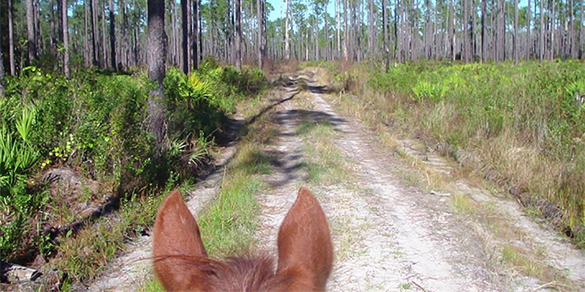
West Tower is located approximately 6 miles from State Road 441 in Lake City. Four interconnected loops traverse over 50 miles of trails through the scenic Osceola National Forest. These trails originate at West Tower Campground where there is a camping area with horse stalls, drinking water and a flush toilet.
The West Tower Equestrian Trails offer four levels of trails for riders from novice to experienced.
- The 5-mile Green Trail is the shortest trail. It is mostly on main roads and is perfect for the novice.
- The 20-mile Red Trail passes through pine flatwoods and cypress sloughs. It is the driest of the trails and is recommended during the wet season. If you're in the mood for a shorter ride, take the cutoff in the middle of the trail and save 10 miles.
- The 20-mile Blue Trail traverses an old railroad grade across pine flatwoods and cypress swamps, meandering along the western boundary of the Big Gum Swamp Wilderness (area is unavailable).
- The 16-mile Gold Trail passes through two bay swamps and crosses Robinson Branch which can be deep during wet periods. Novice riders should not ride the trail when it's wet.
All trail loops start and finish at the trailhead where parking and horse stalls are available. A bulletin board with additional information is located at West Tower Campground.
At a Glance
| Reservations: | First come, first served |
|---|---|
| Fees: | Free |
| Permit Info: | Organized rides of 25 or more people may require a special use permit. |
| Usage: | Light-Medium |
| Restrictions: |
|
| Closest Towns: | Lake City |
| Information Center: | Please review these safety considerations before hitting the trail:
|
General Information
General Notes:Amenities
- Drinking water
- Flush toilet
- Parking
- Tent camping