
Official websites use .gov
A .gov
website belongs to an official government organization in the
United States.
Secure .gov websites use HTTPS
A lock
(
) or https:// means you've safely
connected to the .gov website. Share sensitive information only
on official, secure websites.


Burnt Hollow Trail #33083
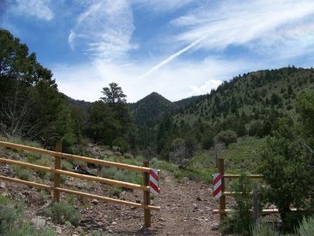
Burnt Hollow Trail #33083 is steep in most places with loose gravel and larger rocks. There are a few trail blazes on trees. Sections of the trail go between ledges. The trail offers great vistas of Circleville Valley, The Tusher Mountains and Piute Reservoir. This trail can be used to access Mud Spring Trail.
At a Glance
| Usage: | Light |
|---|---|
| Closest Towns: | Antimony, UT |
| Water: | Available at Burnt Spring. Water must be treated. |
| Restroom: | Not available. |
| Information Center: | Powell Ranger District: 435-676-9300 |
General Information
General Notes:- Trail is open to: hiking, and horse riding
Directions:
Need directions...
Activities
Day Hiking
Related Information
Location
Area/Length :
2 miles one-way
Elevation :
8,400 feet - 9,710 feet range


