
Official websites use .gov
A .gov
website belongs to an official government organization in the
United States.
Secure .gov websites use HTTPS
A lock
(
) or https:// means you've safely
connected to the .gov website. Share sensitive information only
on official, secure websites.


Dripping Springs Trail
Dripping Springs Trail
|
Elevation Change |
2975 |
|
Distance |
13.2 miles when using connecting trails |
|
Pets Allowed |
Yes |
|
Fees |
|
|
Hike/Ride Time |
Full day |
|
Difficulty |
Moderate - Difficult |
|
Best Seasons |
Fall, Spring |
|
Location |
Located 11 miles off Hwy 79 in Temecula |
|
Ranger District |
Palomar Ranger District - (760) 788-6130 |
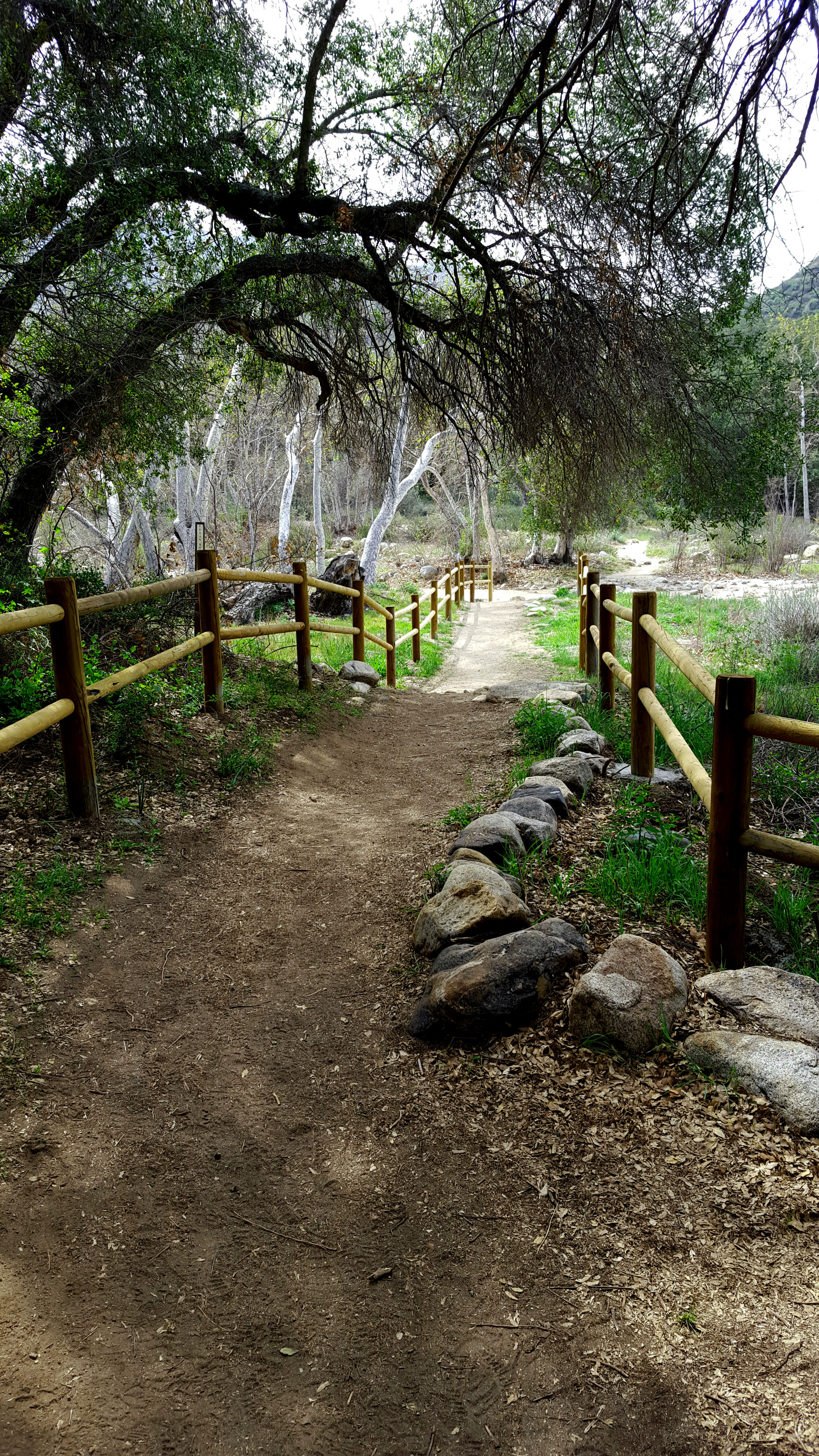
Located in the heart of the Agua Tibia Wilderness, Dripping Spring trail offers great exercise with an elevation gain of almost 3000, scenic ridge line and mountain views, on a well maintained trail that traverses Temecula County where row of wineries and Vail lake can be seen in great clarity. Those looking for overnight camping accommodations after a long day on the trail can cozy up under the stars at the Dripping Springs Campground.
Dripping springs offers little to no shade coverage and is not recommended for the summer months, when temperatures can often hit triple digits. Fall and Spring boast colorful foliage and lovely wildflowers (after the rain) and are considered the best times of the year. Much of the area receives light use, which provides a pleasant and tranquil outdoor experience.
At a Glance
| Fees: | $5/vehicle/day |
|---|---|
| Permit Info: | A visitor pass is required for overnight stays in the backcountry. |
| Restrictions: | Campfires are not permitted at any time |
| Closest Towns: | Temecula, CA |
| Operated By: | Forest Service |