
Official websites use .gov
A .gov
website belongs to an official government organization in the
United States.
Secure .gov websites use HTTPS
A lock
(
) or https:// means you've safely
connected to the .gov website. Share sensitive information only
on official, secure websites.


Rollins Pass Trailhead
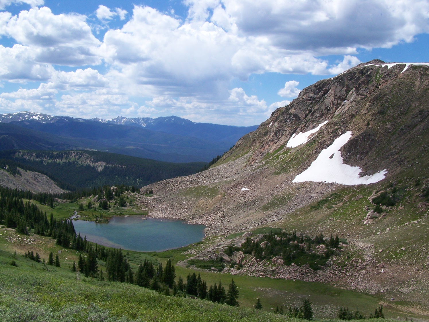
The Rollins Pass Trailhead is located on the Continental Divide and provides access to the Indian Peaks Wilderness, James Peak Wilderness, the Moffat Railroad historical sites, and the Continental Divide National Scenic Trail. There is parking for about 15 vehicles.
Note: A high-clearance, 4-wheel drive vehicle is highly recommended to access this trailhead. The access road to this trailhead is closed from November 15 - June 15, but high snow levels typically don't allow access until late June or early July.
View a COTREX map here.
At a Glance
| Usage: | Heavy |
|---|---|
| Restrictions: | Wilderness regulations apply in the Indian Peaks and James Peak Wilderness areas:
|
| Closest Towns: | Winter Park |
| Water: | No |
| Restroom: | No |
| Operated By: | U.S. Forest Service |
General Information
Directions:From Winter Park, CO, drive south on US Highway 40 approximately one mile to County Road 80 (Forest Road 149) and turn left. Drive 15 miles to the Continental Divide. No motorized route connects across the Continental Divide. One may hike or bicycle across and around the collapsed Needle's Eye Tunnel to Forest Road 149 that leads to Rollinsville, CO.
Accessibility:
A high-clearance, 4-wheel drive vehicle is highly recommended to access this trailhead. The access road to this trailhead is closed from November 15 - June 15, but high snow levels typically don't allow access until late June or early July.