
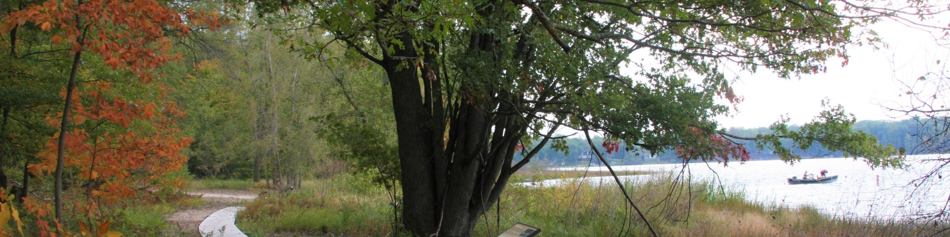
Nichols Lake North
In addition to being a trailhead for the North Country Trail, Nichols Lake North is also a day use area. Popular for fishing and swimming, the site is located on Nichols Lake, a short distance from Nichols Lake campground.
General Information
Location - North Country National Scenic Trail, Nichols Lake
Nearby Recreation Areas -
- Nichols Lake Campground
- Walkup Lake
County - Newaygo
Seasonal and Other Information -
- Open year-round.
- This site is not maintained in winter:
- Access roads and/or parking lot not plowed.
April 29 - September 6
Open 24 hours a day, 7 days a week unless otherwise posted.
Special Use Permit -
- No special use permit is required for individuals or small groups (74 people or less).
- Permits are required for commercial, event or large groups (75 people or more).
Visit the Passes and Permits section for more information on obtaining a special use permit.
Allowed -
- Nonmotorized and snow use
- Llamas
- Pets on leash
- Nonmotorized mechanized equipment, bicycles - some segments
Prohibited -
- Motorized and over-snow vehicles
- Pack and saddle animals
As a visitor to the National Forest, you are asked to follow certain rules designed to protect the Forest, natural resources and to provide for public safety of visitors. These rules are available to you on-line or at any office of the Huron-Manistee National Forests. General Topic orders apply across the Forests. Applicable Orders -
- Motorized Vehicle Use of Roads, Trails and Off-road Areas
- Occupancy and Use
- North Country National Scenic Trail
Day Use:
$5 vehicle per day
$15 per seven day

Address: 650 North Michigan Ave. Baldwin, MI 49304
Phone: (231) 745-4631
Hours: Monday to Friday 9:00 am - 4:00 pm (Closed on federal holidays)
Getting There
Latitude / Longitude
Latitude: 43.73166667
Longitude: -85.91055556
Directions
From Baldwin -
- Travel south on M-37 for 10 miles.
- Turn right and travel west on 14 Mile Rd. for 1 mile.
- Turn left and travel south on Bingham Rd. for 1 mile.
- Turn right and travel west on Cleveland Dr. for 2.25 miles.
- The site is located on the left.
- GPS Coordinates - X: -85.910396 Y: 43.731613
Parking
22 vehicle capacity
Facility and Amenity Information
Restrooms
Restrooms are available at this site.
Water
Potable water is not available at this site.