
Palomar Ranger District
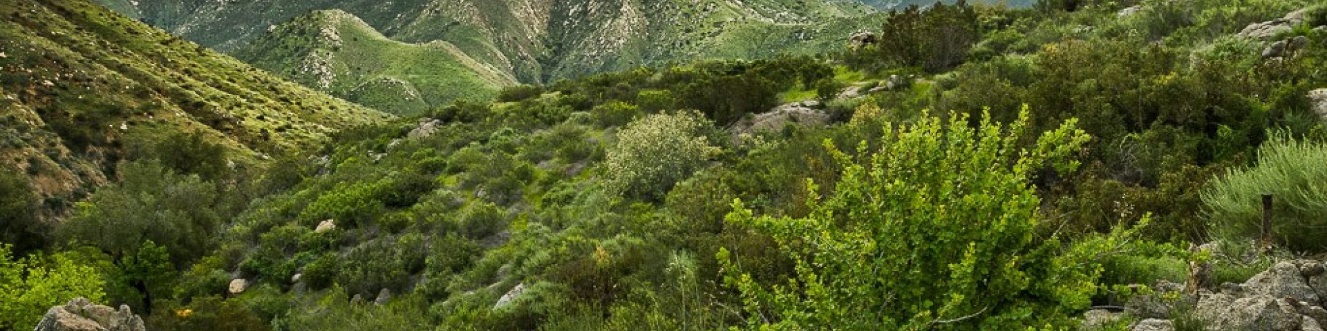
The Palomar Ranger District boundary encompasses approximately 128,863 acres of National Forest System lands and is located in central and northern San Diego county and portions of southern Riverside county. Dominant features within the District include the Palomar and Cuyamaca Mountains of the Peninsular Range and four of five primary coastal watersheds in San Diego County. These include, the Santa Margarita, San Luis Rey, San Dieguito and San Diego River drainages. Elevation ranges from 880 feet to 6,140 feet on Palomar Mountain. Vegetation types within the District are varied and include shrub dominated communities, oak and coniferous woodland, riparian, and grassland. Chaparral communities are the dominant feature throughout most of the District.
With over 95 miles of hiking trails, including the Pacific Crest Trail and 3 equestrian trails, a wild and scenic river - the San Luis Rey, almost 16,000 acres of forest through the Agua Tigua Wilderness, three research areas (Organ Valley, San Diego River, and Agua Tibia) an entourage of camping opportunities which range from developed campgrounds (6 in all) to dispersed campsites in the wilderness, and the world renowned Palomar Observatory located on Palomar Mountain, this area truly has something for everyone. For information on good spots to camp, or must-see trails, please contact the ranger district.