
Sandia RD Manzanita Mountains
The Manzanita Mountains rise south of Tijeras Canyon and extends to Cañon de los Seis at the north end of the Manzano Mountains, about 15 miles to the south. The Manzanitas, less high and rugged than the Sandias, consist mainly of limestone ridges and canyons covered with piñon-juniper woodlands, alternating with open meadows. Elevations range from around 6,000 feet to 7,767 feet atop Cedro Peak.
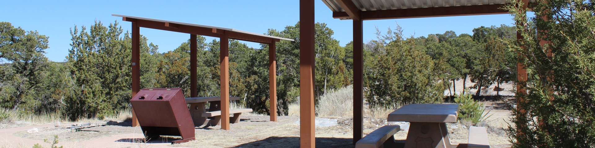
The area has an extensive network of trails available for motorized and nonmotorized use that are most popular with mountain bikers. Please keep ATV’s and motorcycles off trails which are posted closed to motorized use. The area also has several picnic grounds and two group campgrounds located off NM 337. Information, including site reservations and current trail maps, is available at the Sandia Ranger Station, located in the village of Tijeras along NM 337.
General Information
For a more detailed view of the Manzanita System Trails click here