
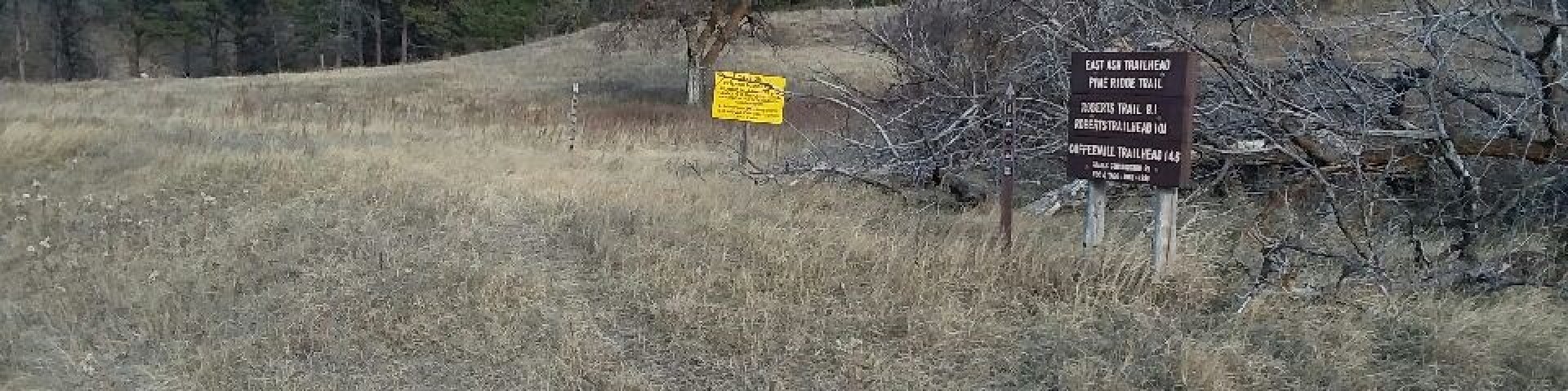
East Ash Trailhead
East Ash Trailhead is located along the East Ash Road. East Ash Creek is located nearby. The trailhead provides non-motorized access to the Pine Ridge Trail, the Pine Ridge National Recreation Area, and West Ash Trailhead. Most of the Pine Ridge Trail leading both east and west from the trailhead burned in the 2012 fire.
Trail distances for mountain biking, hiking or horseback riding are:
- East Ash to Pine Ridge National Recreation Area boundary 0.1 miles
- East Ash to Coffee Mill is 14.6 miles
- East Ash to West Ash is 5.7 miles
- East Ash to Robert's Trailhead and Campground is 10.1 miles
Dispersed camping is available on the west side of East Ash Road off of Road 769 and nearby Road 768. No services are provided so please pack it in & pack it out and practice Leave No Trace camping.
General Information
- Certified noxious weed-free hay/feed is required on national forest lands.
- Motorized vehicles are prohibited on Pine Ridge Trail and within Pine Ridge National Recreation Area.
No fee
Dogs must be kept under control.

Address: 125 N Main St Chadron, NE 69337
Phone: 308-432-0300
Hours: 9:00 AM - 4:00 PM, Monday - Friday (mountain time) (Closed on federal holidays)
Getting There
Directions
From Chadron, at the intersection of Highway 385 and Highway 20, southwest on Highway 20, 9.4 miles to Eleson Road. South 3 miles, road jogs .5 miles to the west, then continue south 5.4 miles past Bethel Road to Bethel Loop Road. Turn west and south to Forest Service Road #706. South 2.4 miles to East Ash Trailhead.
Facility and Amenity Information
Restrooms
Restrooms are not available at this site.
Water
Potable water is not available at this site.
Picnic Tables
Picnic tables are not available at this site.
Horse/Pack Animal Information
Horse/Pack animals are allowed at this site.