

Adventure awaits on the Stanislaus National Forest
Established in 1897, the Stanislaus National Forest is one of the oldest national forests. Explore the breath-taking Central Sierras with 78 lakes, 811 miles of streams and rivers, and more than 1,000 miles of hiking trails. All in, the 898,000 acres are the perfect destination for whatever your next adventure holds — hiking, biking, fishing or camping.
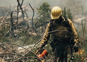
Fuels reduction across the landscape

Focused along California’s Highway 108, the 305,000-acre planning area spans federal, state and private land. Plans include treating up to 120,000 acres of national forest.
Explore some extraordinary photos
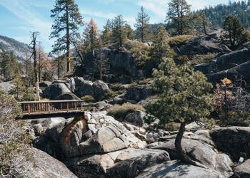
Our staff shares images of all the work on the forest and the incredible landscape we call home.


