
Official websites use .gov
A .gov
website belongs to an official government organization in the
United States.
Secure .gov websites use HTTPS
A lock
(
) or https:// means you've safely
connected to the .gov website. Share sensitive information only
on official, secure websites.


Maps & Publications
The US Forest Service provides several types of publications and maps to the public. The material is available in many forms: brochures, maps, Recreational Opportunity Guides (ROGs), on such subjects as recreation, sightseeing, wilderness, travel management, and vegetation.
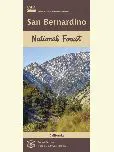
Forest Maps
 The Forest Service publishes a variety of map products to help you plan your next adventure or enjoy your next visit!
For example:
- You can purchase National Forest Visitor Maps through the U.S. Geological Survey Store.
- Several types of mobile compatible maps are available from Avenza Maps.
- US Geological Survey website offers USGS Topographic Maps and a wide variety of maps on-line and for purchase.
In general, forest visitor and other kinds of maps may also be purchased at most San Bernardino National Forest Offices.
Motor Vehicle Use Maps (MVUM)
The Motor Vehicle Use Map displays National Forest System routes (roads and trails) or areas designated open to motorized travel.
The Motor Vehicle Use Map also displays uses allowed by vehicle class (highway-legal vehicles, vehicles less than 50 inches wide and motorcycles), and seasonal allowances.
Forest Publications
 Our publications fall into a few broad categories: administrative, general, recreation and research publications.
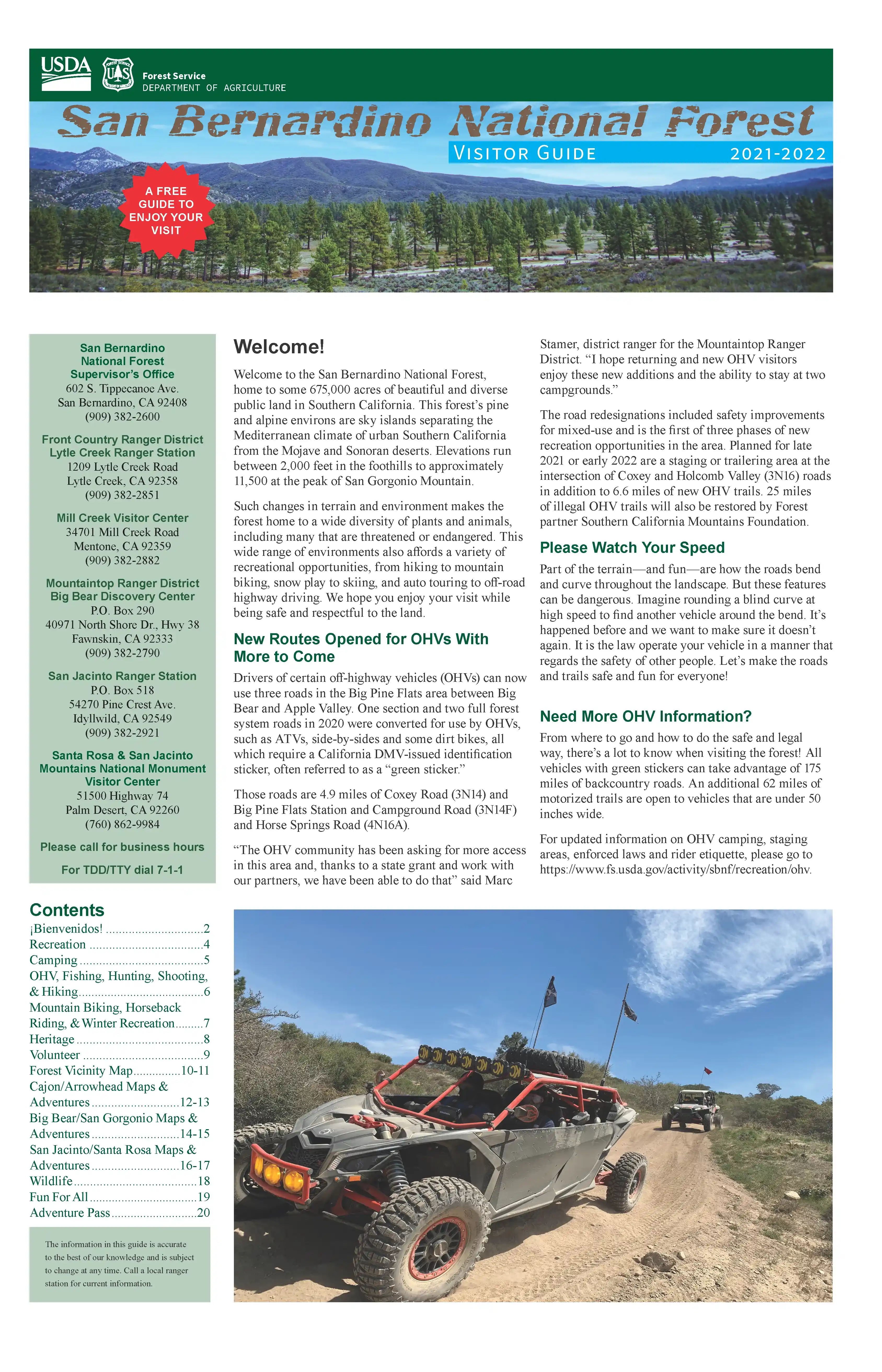
San Bernardino National Forest Visitor Guide
The visitor guide is now available to view online and print at home! This is the forest's 20 page guide containing a variety of useful information for visitors to the forest. You need Adobe Reader to view this file (4.15 MB). This guide (English only) is also available for free at all San Bernardino National Forest offices and visitor centers.
We also have PDF (online only) versions in these languages:

Recreation Opportunity Guides
- Backcountry Safety Tips
- Wilderness Ethics and Etiquette
- San Gorgonio Wilderness Trails (some portions closed due to the Lake & El Dorado Fire)
- Barton Flats Area Non-Wilderness Trails
- Woodland Trail Brochure
- Big Bear Valley Trails
- Lake Arrowhead Area Trails
- Lytle Creek Area Trails
- Chaparral Neighborhoods Trail Brochure
- Mormon Rocks Trail Brochure
- Idyllwild/San Jacinto Area Trails (some portions closed due to the Mountain Fire)
- Randall Henderson Trail Brochure
- Horse Sense
- You are in Bear Country
- Prospecting
- Recreational Target Shooting on the Mountaintop and Front Country Ranger Districts
- Drought and Bark Beetle-caused Tree Mortality
These are just a sampling of the types of handouts that are free at your local forest office.
-
Avenza Maps

Download the Avenza app, then download our San Bernardino National Forest maps. Avenza Maps offline GPS app on your mobile device can locate you on any map, without WiFi or network connectivity.
-
Explore the Interactive Visitor Map

The interactive Visitor Map provides the public with an online view of Forest Service roads, trails, recreation sites, wilderness areas, and wild & scenic rivers.
-
Climate Change Resource Center

The Climate Change Resource Center (CCRC) is a web-based, national platform that connects land managers and decision makers with useable science to address climate change in natural resources planning and management.
-
Standard & Other Map Products

The Forest Service publishes a variety of map products to help you plan your next adventure or enjoy your next visit!
-
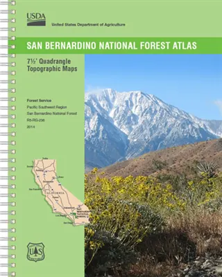
Forest Atlas of the United States

Advances in technologies and analytical methods and the availability of other spatial data, such as satellite imagery and digital elevation models, now make it possible to present information about U.S. forests in novel ways.
-
USGS Maps

USGS produce accurate geologic maps and 3-D geologic frameworks that provide critical data for sustaining and improving the quality of life and economic vitality of the Nation.