
Official websites use .gov
A .gov
website belongs to an official government organization in the
United States.
Secure .gov websites use HTTPS
A lock
(
) or https:// means you've safely
connected to the .gov website. Share sensitive information only
on official, secure websites.


Maps & Publications
Explore Map Options
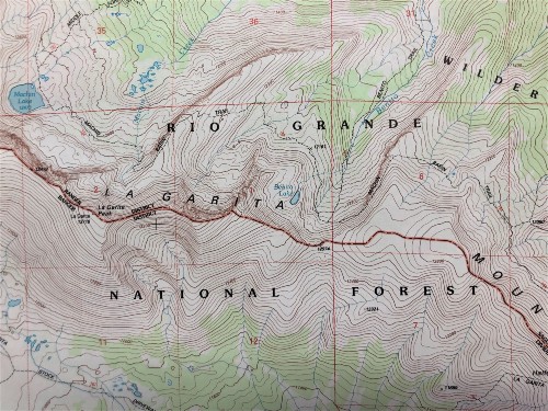
Many maps and publications are available to provide visitors with information about the Rio Grande National Forest. Visitor information maps are available in comprehensive plastic coated maps or digital, geo-referenced Avenza maps that show roads and highways, cities, bodies of water, recreational sites, campgrounds, trails, private and public land designations, and more. The paper maps are $14 and digital editions cost $5. Motor Vehicle Use Maps (MVUMs) show motorized roads, trails, and seasonal closures. They are available at our ranger district offices. Geo-referenced maps are free to download. Learn about these and other map products using the links below.
-
Mobile Friendly Maps

Download our Forest Visitor Maps to your mobile device via the Avenza app.
-
Motor Vehicle Use Maps

Motor Vehicle Use Maps show national forest system roads & trails open to motorized travel.
-
Buy Maps Online

The US Geological Survey offers a variety of maps, geospatial map applications, and more. The San Juan Mountains Association, a partner organization, also sells maps online.
-
National Map Tool

View the National Interactive Visitor Map to locate recreation sites on Forest Service lands.
-
Forest Service Topo Maps
Downloadable topographical maps that overlay Forest Service assets on USGS quadrangles.
-
GIS Data

Digital data is available at the USDA Forest Service Geodata Clearinghouse.
Highlights
