

Welcome to the Southwestern Region
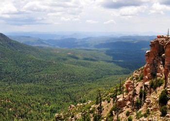
The Southwestern Region covers more than 20.6 million acres, boasting thousands of recreation opportunities spread across six national forests in Arizona, five national forests and a national grassland in New Mexico, and one national grassland each in Oklahoma and the Texas panhandle.
The elevation ranges from 1,600 feet above sea level and an annual rainfall of 8 inches in Arizona's lower Sonoran Desert to 13,171-foot high Wheeler Peak and over 35 inches of precipitation a year in northern New Mexico.
Top Photo: Red rock faces on the Fay Canyon trail, Coconino National Forest. (USDA Forest Service photo by Deborah Lee Soltesz)
Find a Forest
Apply Now to Permanent Fire Positions!
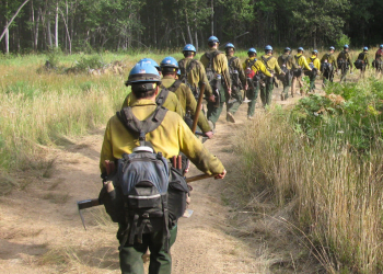
Applications will be accepted through USAJobs from May 19 to 28. Available positions and links to apply are listed on the regional Fire Hire webpage.
Connect with a Fire, Fuels and Aviation Management recruiter to learn about future openings and hiring events.
Stay Safe This Fire Season
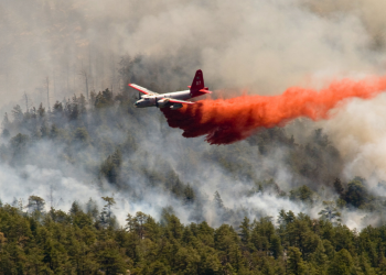
From protecting your home to preparing to evacuate, learn more about how to be prepared this Spring and Summer.
Learn About the Four Forest Restoration Initiative
4FRI collaborates with local industry, governments, and non-profit organizations to facilitate hazardous fuels reduction and restoration work across four Arizona forests.
Field Guide to Insects & Diseases

Learn about flora and fauna in the Southwest. A description for each insect and disease includes hosts, damage, symptoms, biology, and effects or impacts.


