
Official websites use .gov
A .gov
website belongs to an official government organization in the
United States.
Secure .gov websites use HTTPS
A lock
(
) or https:// means you've safely
connected to the .gov website. Share sensitive information only
on official, secure websites.


Maps & Publications
Overview maps
Overview maps of the Pacific Northwest National Scenic Trail congressionally designated route (2009). *For planning purposes and not intended for navigation.
-
Forest Service interactive ArcGIS web map
This map provides a general outline of the trail and provides important information about trail uses along the route.
-
PNT overview Map

This map provides the entire routes path through Montana, Idaho, and Washington.
Trip planning maps & publications
-
Trip planning using PNTA

For more information about trip planning including maps and mileage charts, contact the Pacific Northwest Trail Association.
-
Free Downloadable Maps

Geo-referenced PDF maps overlay Forest Service assets on USGS topo maps by quadrangle.
-
Avenza Maps for Mobile Devices

Search for forest maps on Avenza & download using the PDF-maps app.
-
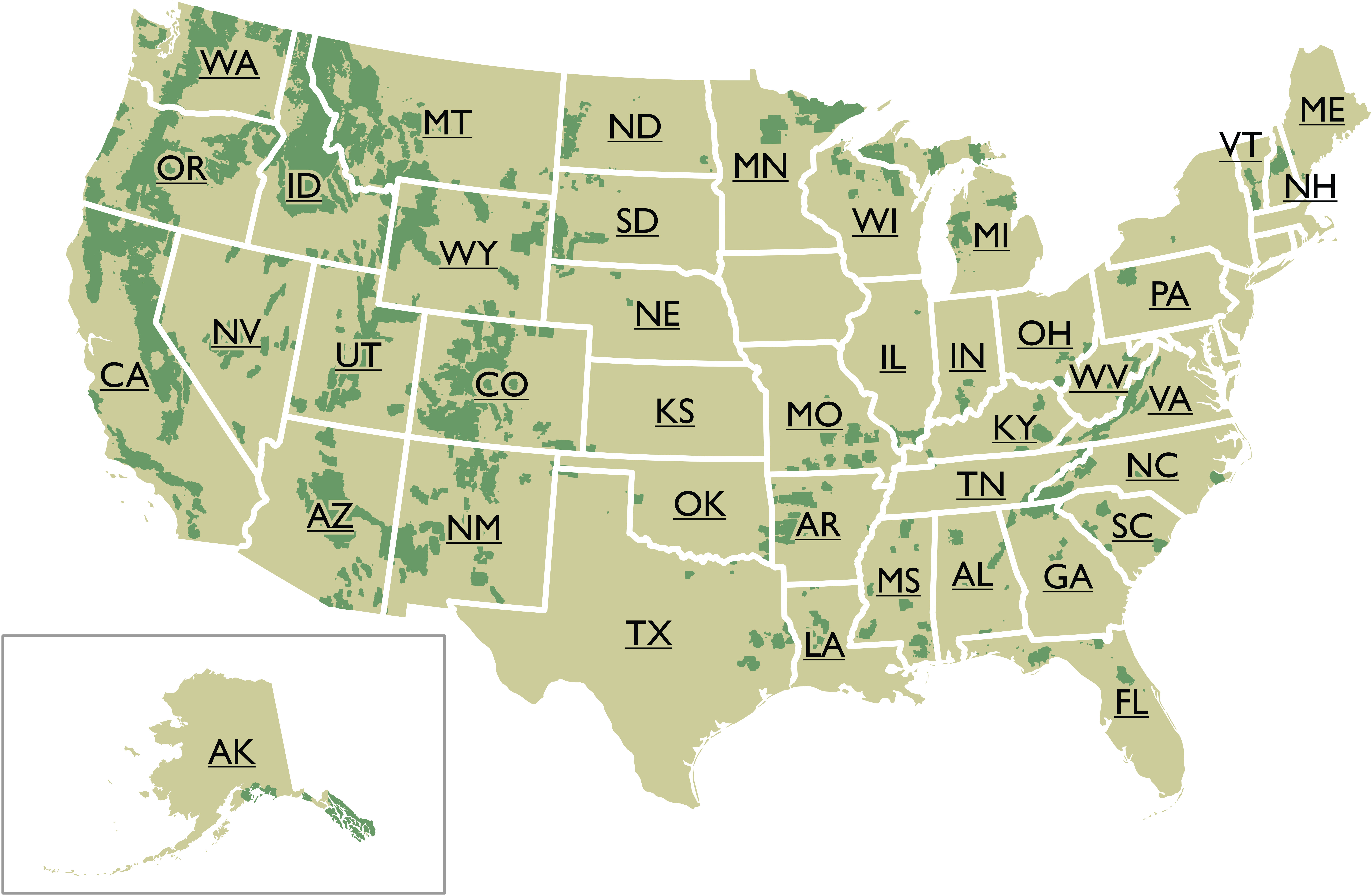
National Trails System Map

This map of the National Trails System shows the Pacific Northwest Trail in relation to America's 10 other National Scenic Trails and 19 National Historic Trails.
U.S. Forest Servive Interactive Visitor Map
The U.S. Forest Service's Interactive Visitor Map displays all the National Forests and Grasslands recreation sites, including camp sites, trailheads, hiking trails, and much more.
Other Maps & Publications
-
National Forest Store

Nationwide selection of forest, ranger district, Wilderness & specialty maps.
-
Discover Your Northwest

Wide selection of maps, books, and guides highlighting the Northwest's natural and cultural history.
-
U.S Geological Survey
The national source to find, order, or download topographic maps.