
Official websites use .gov
A .gov
website belongs to an official government organization in the
United States.
Secure .gov websites use HTTPS
A lock
(
) or https:// means you've safely
connected to the .gov website. Share sensitive information only
on official, secure websites.


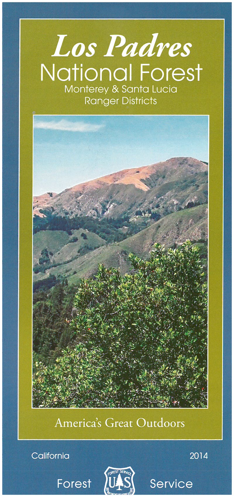
Maps & Publications
The US Forest Service provides several types of publications and maps to the public. The material is available in many forms: brochures, maps, Recreational Opportunity Guides (ROGs), on such subjects as recreation, sightseeing, wilderness, travel management, and vegetation.
Forest Maps
The Forest Service publishes a variety of map products to help you plan your next adventure or enjoy your next visit!
 For example:
- You can purchase National Forest Visitor Maps through the U.S. Geological Survey Store.
- Several types of mobile compatible maps are available from Avenza Maps.
- US Geological Survey website offers USGS Topographic Maps and a wide variety of maps on-line and for purchase.
In general, forest visitor and other kinds of maps may also be purchased at most Los Padres National Forest Offices.
The Los Padres National Forest Recreation South and North maps are available at the Forest Headquarters in Solvang, the Santa Lucia Ranger District in Santa Maria, the Ojai Ranger Station and at the Mt. Pinos Ranger District Office in Frazier Park. Maps are currently not available at the or the Santa Barbara District Office (Los Prietos Ranger Station on Paradise Rd). Please call ahead of time to find out if maps are available.
- The headquarters office and ranger stations do not sell the Los Padres National Forest Quadrangle Atlas book. This is only available through the U.S. Geological Survey Store.
Motor Vehicle Use Maps (MVUM)
The Motor Vehicle Use Map displays National Forest System routes (roads and trails) or areas designated open to motorized travel. The Motor Vehicle Use Map also displays uses allowed by vehicle class (highway-legal vehicles, vehicles less than 50 inches wide and motorcycles), and seasonal allowances.
Forest Publications
 Our publications fall into a few broad categories: administrative, general, recreation and research publications.
Forestwide
- Los Padres National Forest - Welcome (PDF 18kb)
- Equestrian (PDF 23kb)
- Hunting (PDF 43kb)
- Hot Springs (PDF 41kb)
- Watchouts (PDF 90kb)
Santa Barbara Ranger District
- Upper Oso Canyon Geology Brochure (PDF2153kb) Trail is in the Santa Ynez recreation area.
- Camuesa Connector Trail (PDF 155kb)
- Little Pine Loop Trail (PDF 152kb)
- San Rafael Wilderness (PDF 37kb)
Mt. Pinos Ranger District
- Recreating in the Day Fire Area (PDF 103kb ) Spanish (PDF 95kb)
- Backpacking (PDF 241kb)
- Hiking (PDF 265kb)
- Off-Highway Vehicle (OHV) (PDF 231kb)
- Camping (PDF 259kb)
- Plants of the Mt. Pinos Summit (PDF 33kb)
Ojai Ranger District
- Sespe Hot Springs (PDF 33kb)
- Recreation Target Shooting Prohibited-Cherry Creek (PDF)
Santa Lucia Ranger District
- San Rafael Wilderness (PDF 37kb)
- Machesna Wilderness (PDF 97kb)
- Pino Alto Picnic Area (PDF)
- Figueroa Mountain (PDF 179kb)
- West Cuesta (16 kb)


