
Official websites use .gov
A .gov
website belongs to an official government organization in the
United States.
Secure .gov websites use HTTPS
A lock
(
) or https:// means you've safely
connected to the .gov website. Share sensitive information only
on official, secure websites.


Maps & Publications
The US Forest Service provides several types of publications and maps to the public. The material is available in many forms: brochures, maps, Recreational Opportunity Guides (ROGs), on such subjects as recreation, sightseeing, wilderness, travel management, and vegetation.
Forest Maps
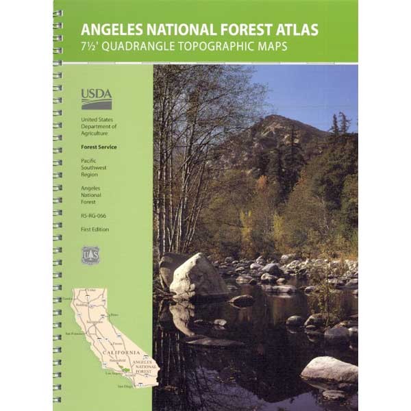 The Forest Service publishes a variety of map products to help you plan your next adventure or enjoy your next visit!
For example:
- You can purchase National Forest Visitor Maps through the U.S. Geological Survey Store.
- Several types of mobile compatible maps are available from Avenza Maps.
- US Geological Survey website offers USGS Topographic Maps and a wide variety of maps online and for purchase.
In general, forest visitor and other kinds of maps may also be purchased at most Angeles National Forest Offices.
Motor Vehicle Use Maps (MVUM)
The Motor Vehicle Use Map displays National Forest System routes (roads and trails) or areas designated open to motorized travel. The Motor Vehicle Use Map also displays uses allowed by vehicle class (highway-legal vehicles, vehicles less than 50 inches wide and motorcycles), and seasonal allowances.
Forest Publications
Our publications fall into a few broad categories: administrative, general, recreation and research publications.
Recreation Opportunity Guides
Our publications fall into a few broad categories: administrative, general, recreation and research publications.
- High Country Hiking (PDF)(HTML)
-
Angeles National Forest Off-Highway Vehicle Areas (PDF)(HTML)
-
Santa Clara Mojave Rivers Ranger District Picnic Area (PDF) (HTML)
-
Santa Clara Mojave Rivers Ranger District Campgrounds (PDF) (HTML)
-
Big Pines Recreation Area PDF
-
Los Angeles River Ranger District Ranger District Camping and Picnicking (PDF) (HTML)
-
San Gabriel Canyon OHV Area (HTML)
These are just a sampling of the types of handouts that are free at your local forest office.
Alerts & Warnings
- NEW! Office & Visitor Center Updates - Need Info or Passes?
- UPDATED Closure: Small Section of the Forest Still Closed due to Bobcat Fire
- Fire Danger Increases to ‘MODERATE’ at the Angeles National Forest
- Advisory: Hiking at High Elevations
- Driving to the Forest?
- Forest Service Road Closures
- Closure: West Fork Road to recreationists on weekdays thru Dec. 1, 2024
- Closure: San Gabriel Reservoir Area thru June 30, 2024
- Planning to Camp? (Stay Limits/Dispersed Camping Restrictions) til Dec. 15, 2024