
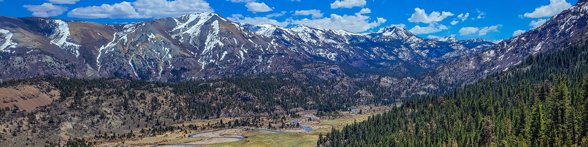
Welcome to the Humboldt-Toiyabe National Forest
The Humboldt-Toiyabe National Forest’s spectacular 6.3 million acres make it the largest National Forest in the lower 48 states. It's made up of large but non-contiguous sections scattered across most of the state of Nevada and a portion of eastern California. Forest offices are located in Austin, Carson City, Elko, Ely, Las Vegas, Sparks, Tonopah, Wells, and Winnemucca in Nevada and Bridgeport in California.
Popular Content

For some of the Humboldt-Toiyabe National Forest's most popular content, visit the links below.
Forest Orders by Ranger Districts
Visit Your Forest
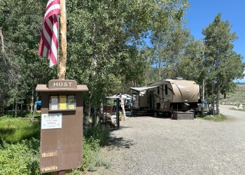
Looking to plan your next visit? Here are some key pages to get you started.
Fire Information

Current fire information, restrictions, and wildfire updates can be found at the links below.
Featured Videos

See what's happening around the Forest!
