
Welcome to the Flathead National Forest
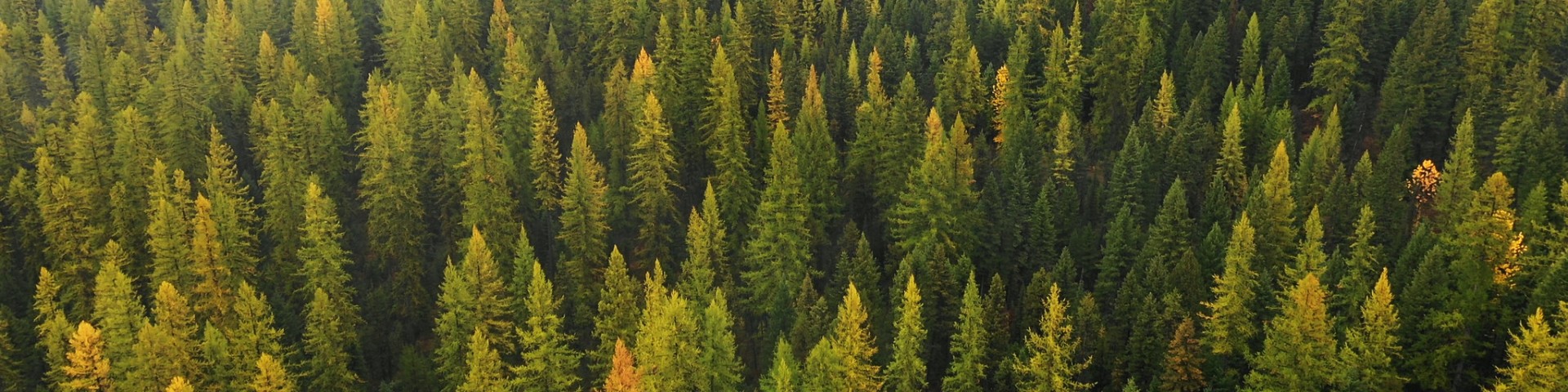
In the Rocky Mountains of Northwest Montana, just south of the Canadian border and Glacier National Park, lies the 2.4-million-acre Flathead National Forest. With abundant lakes, rugged wilderness, wild rivers, over 2,000 miles of trail, campgrounds, ski areas, and year-round beauty, this forest is a premiere natural landscape of the American West.
Plan Your Adventure

Find out what recreation opportunities are available on the Flathead National Forest, check out our online maps, or try the interactive visitor map.
Wildlife Safety
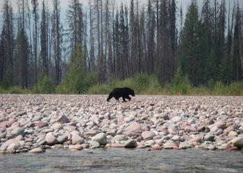
The Flathead National Forest is home to both grizzly bears and black bears. Find out more about recreating safely in bear country.
Great American Outdoors Act

The GAOA is allowing us to invest in recreation infrastructure, public lands access, and land and water conservation.
Holland Lake Lodge Information

Holland Lake Lodge sits on the shores of Holland Lake in Condon, Montana. The Lodge has been under a special use authorization since 1924. Find the latest information here.

