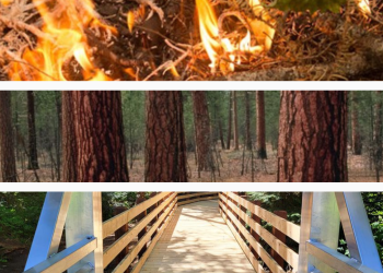
Welcome to Willamette National Forest
The Willamette National Forest stretches for 110 miles along the western slopes of the Cascade Range in western Oregon. The Forest is 1,675,407 acres in size. The varied landscape of high mountains, narrow canyons, cascading streams, and wooded slopes offer excellent opportunities for visitors and make the Forest valuable for many purposes.
The Willamette National Forest offers a wide variety of recreation opportunities. Its central location makes it accessible to day-trippers and vacationers alike.
Forest Product Permits (Firewood, Mushroom, Christmas Trees)
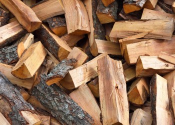
Permits are required for some products, but not for others. Contact a ranger station for details for that district.
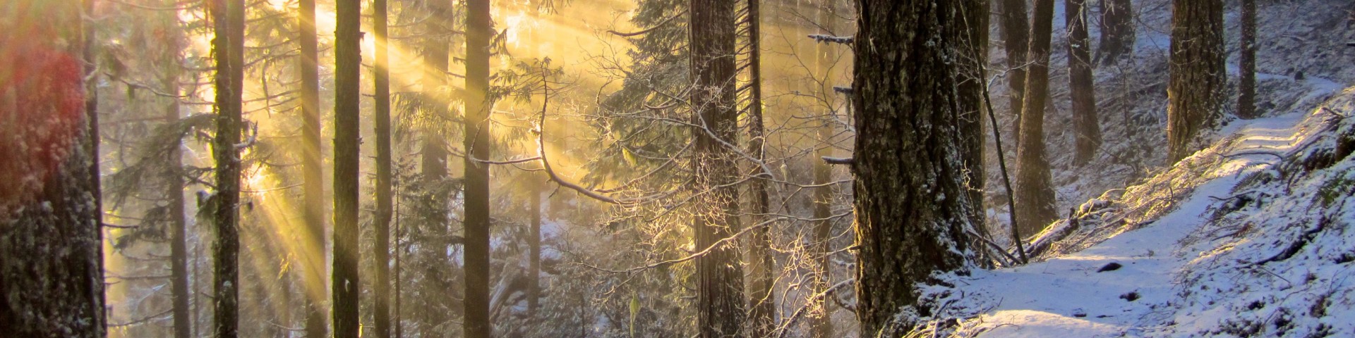
Winter Recreation

Santiam Pass and Willamette Pass are the main winter recreation areas for winter sports on the forest. You can find cross-county ski trails, snowmobile trails, and places for sledding and snow play.
Recreation Passes

Ready to enjoy amazing outdoor adventures? You have several options to purchase passes.