
Welcome to Wallowa-Whitman National Forest
The Wallowa-Whitman National Forest encompasses 2.4 million acres of public lands in northeastern Oregon and western Idaho. Our staff serve the public from offices in Baker City, La Grande, and Joseph, OR; Riggins, ID; and Clarkston, WA.
Hells Canyon National Recreation Area
Hugging the borders of northeastern Oregon and western Idaho, this national showcase holds 652,488 acres of beauty and adventure, where you can let your senses run as wild as the landscape.
Volunteering
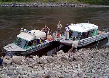
Interested in spending your summer in one of the premier areas in northeast Oregon and western Idaho?

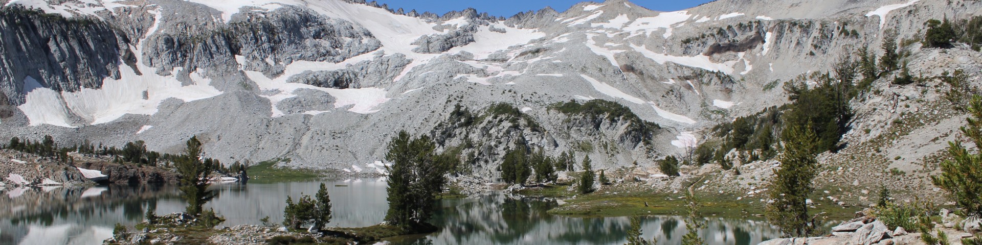
Ecosystems range from the alpine peaks of the Elkhorn, Seven Devils, and Wallowa Mountains (reaching as high as 9,843 feet), to the spectacular grasslands and canyons surrounding the Snake River (reaching as low as 875 feet), and the vast watersheds, rangelands, and conifer forests in between. There are ten Wild and Scenic Rivers, four Wilderness Areas, and one famous Hells Canyon National Recreation Area.
The Wallowa-Whitman is part of the Pacific Northwest Region of the Forest Service (an agency of the U.S. Department of Agriculture). Our mission is to “sustain the health, diversity, and productivity of the nation’s forests and grasslands to meet the needs of present and future generations.”