
Official websites use .gov
A .gov
website belongs to an official government organization in the
United States.
Secure .gov websites use HTTPS
A lock
(
) or https:// means you've safely
connected to the .gov website. Share sensitive information only
on official, secure websites.


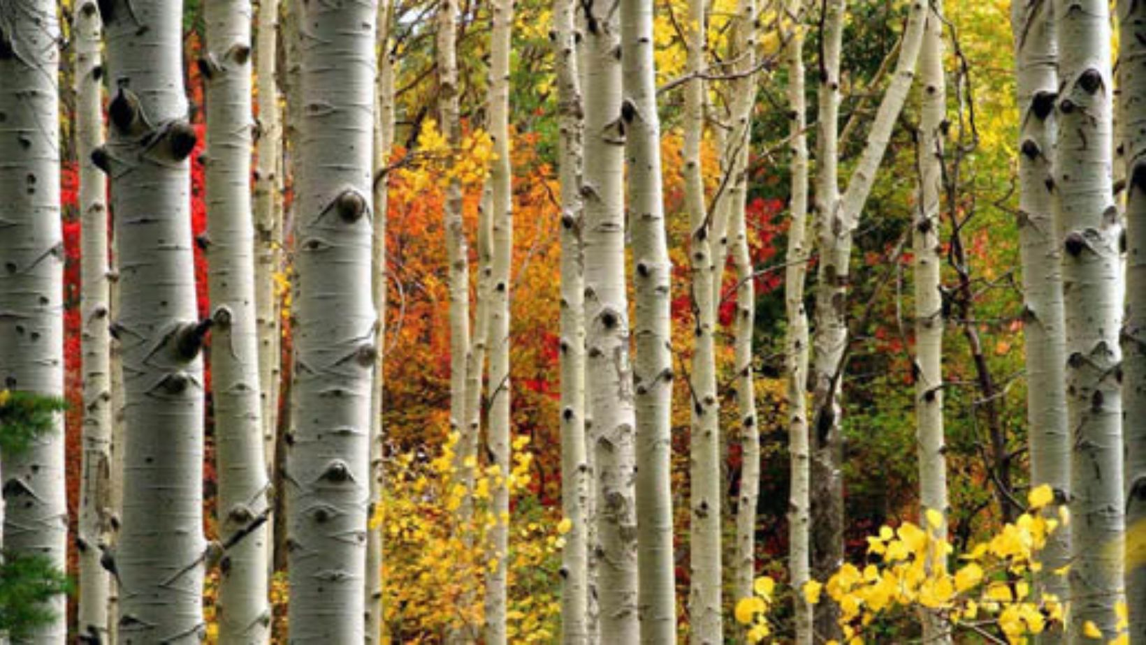
Fall Colors
Payson Ranger District
Peak viewing time mid-October through mid-November.
The East Verde River- Take Hwy. 87 north through Payson, turn right on Forest Road (FR) 199 (Houston Mesa Rd). After seven miles the road begins to follow the river. Turn left on Control Rd (FR64), then turn right on FR 32. After two miles the road begins to follow the river again, continue on FR 32 to the Washington Park Trailhead.
Tonto Creek - From Payson go east on Hwy. 260 for 16 miles. Just past mile marker 269 turn left on FR 289. This road follows Tonto Creek for four miles and ends at the Tonto Creek Fish Hatchery.
Christopher Creek – From Payson go east on Hwy. 260 for 19 miles, turn left onFR 284 and follow it to See Canyon Trailhead.
Recommended hiking routes:
- Col. Devin Trail #290 from Washington Park Trailhead
- Horton Creek Trail #285 from Horton Trailhead on Tonto Creek Rd. (FR 289)
- See Canyon Trail #184 from See Canyon Trailhead
Pleasant Valley Ranger District
Peak viewing time mid-October through mid-November.
The Young Road (FR 512/SR 288) provides access to several riparian areas on the Pleasant Valley District that have great fall colors. The north end of the Young Road can be accessed from Hwy. 260 33 miles east of Payson. The south end can be accessed from Hwy. 188 seven miles east of Roosevelt Lake.
Canyon Creek-From the junction of Young Road (FR 512) and Hwy 260 (33 miles east of Payson) take FR 512 south for three miles, turn left (east) on FR 33 and follow it 4.5 miles to the creek.
Haigler Creek-From Young take FR 512 three miles north and turn left on FR 200. Follow FR 200 nine miles west to the Haigler Creek area.
Workman Creek- From the junction of Hwy 188 and Young Road (SR 288) travel north on Young Road for 22 miles. Turn right (east) on FR 487 and follow it along Workman Creek. Please note that FR 487 is a rough road and four-wheel drive is recommended.
Globe Ranger District
Peak viewing time late October through mid-November
Pinal Mountains – Oaks and small pockets of aspens are found in the Signal Peak area. Maples and aspens have turned red in the upper reaches of Icehouse and Sixshooter Canyons. Ferndell Spring in upper Sixshooter Canyon is home to our nation’s largest canyon maple tree. It is approximately ¾ mile down Sixshooter Canyon Trail #192 from Upper Pinal Campground. These areas can be accessed from FR 651 adjacent to Pinal and Upper Pinal Campgrounds.
From Globe follow Jess Hayes Road to the junction of Icehouse Canyon Rd (FR 112) and Sixshooter Canyon Road (FR 222). Continue on FR 112 for 2 ¼ miles to the junction of FR 55 and FR 112. Take the right fork and continue for 2 ¼ miles on FR 55 then turn left on FR 651. Proceed 10 miles on FR 651 to the Pinal Campground area.
Recommended hiking routes:
- Icehouse Canyon Trail #198 from FR 651 adjacent to Pinal Campground.
- Sixshooter Canyon Trail #192 from FR 651 adjacent to Upper Pinal Campground.
Cave Creek Ranger District
Peak viewing time late October through mid-November
Seven Springs Area – Sycamore, cottonwood and willow trees are found in this desert riparian area.
From Scottsdale go north on Pima Rd and turn right on Cave Creek Road which turns into FR 24. Continue north on FR 24 for 18 miles to the Seven Springs Area.
Recommended hiking routes:
- Cave Creek Trail #4 from Cave Creek Trailhead (Seven Springs Area).
Ranger District Contacts
Please contact the District Office of the area you plan to visit for current road conditions and other updates.
Cave Creek Ranger District (480) 595-3300
Globe Ranger District (928) 402-6200
Payson Ranger District (928) 474-7900
Pleasant Valley Ranger District (928) 462-4300
Alerts & Warnings
- For Boulder View Fire Updates
- NEVER Bring or Use Fireworks on Federal Lands. It is Illegal.
- 03-12-01-24-29 Riverside Fire Closure Order
- 03-12-03-24-26 Adams Fire Emergency Closure Revision
- 03-12-06-24-27 Tonto Creek Crossing Road Closures
- 03-12-00-24-24 Emergency Stage 1 Fire Restrictions Entire Forest
- 03-12-01-22-26 Rattlesnake Cove Recreation Fishing Dock Closure
- 03-12-01-24-28 Wildcat Safety Recovery Closure Order
- Amended - Apache Lake Closure - Lower Burnt Corral Campground remains closed
- Bald Eagle Seasonal Closures
- Occupancy and Use Restrictions
- Update on State Route 88 (Apache Trail) - August 18, 2021
- Redmond Fire Road Closure