
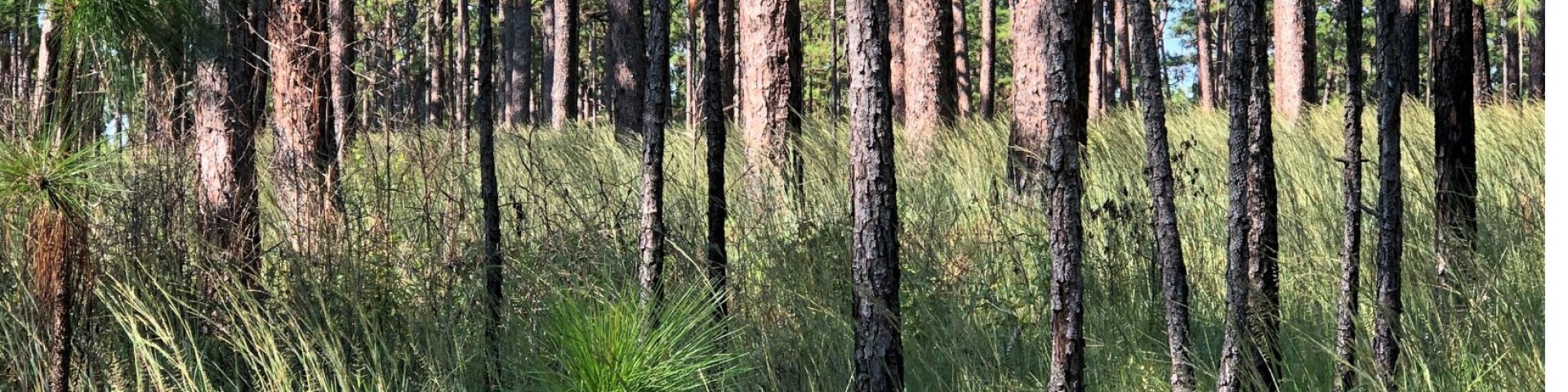
Welcome to National Forests in Texas
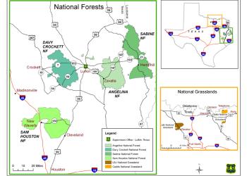
Discover the National Forests and Grasslands in Texas, spanning over 675, 000 acres, these public lands offer something for everyone. Plan your visit today and explore the best of Texas’s great outdoors!
Visit your National Forests and Grasslands in Texas


Stay Safe on the NFGT

An adventure into the great outdoors has many benefits, including social, cultural and historic value. With an outdoors adventure comes a sense of responsibility, especially when it comes to safety.
Remember: You are responsible for your own safety and for the safety of those around you.

Timber Sale Info

Click the link to find information about all timber sales currently being advertised on the National Forests and Grasslands in Texas.

Hunting on the NFGT

Click here to learn more about hunting on the National Forests and Grasslands in Texas
NFGT Fingertip Facts
Quick facts at your fingertips- Looking for a snapshot of the National Forests and Grasslands in Texas? Check it out.