
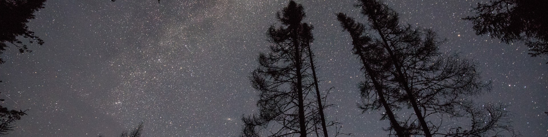
Welcome to Superior National Forest
Established in 1909, the three-million acre Superior National Forest is the largest national forest east of the Mississippi River. The Forest is located at the southernmost edge of the boreal forest ecosystem and is home to thousands of clean lakes, rocky landscapes, iconic megafauna, colorful fall foliage and has a rich cultural history. Within the bounds of the Forest is the beloved one million-acre Boundary Waters Canoe Area Wilderness. Bordered by Canada, Lake Superior and Voyageurs National Park, there's truly a superior experience waiting for you.
Proposed Boundary Waters Canoe Area Wilderness Fee Changes
The Superior National Forest is proposing changes to recreation fees at the Boundary Waters Canoe Area Wilderness to increase education, maintenance and visitor experience.
Learn More About Proposed Recreation Fee Changes
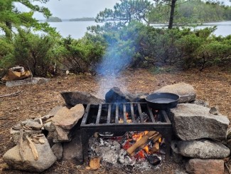
Recreation Opportunities


Passes and Permits

Maps and Guides

Safety and Ethics

Timber Sales

Fire Prevention and Mitigation

Wilderness


