
Welcome to Shasta-Trinity National Forest
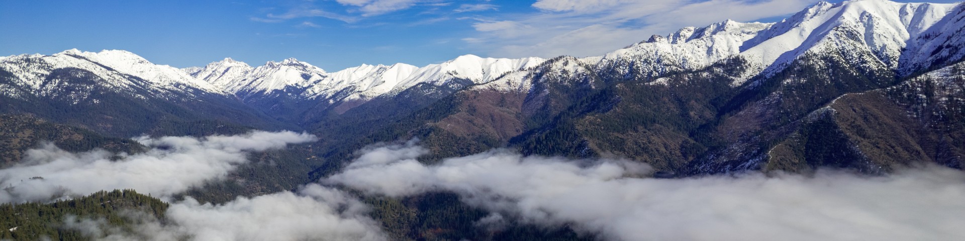
The Shasta-Trinity National Forest is the largest National Forest in California with a diverse landscape ranging from 1,000 to 14,162 feet. The 2.1 million acre forest encompasses five wilderness areas, hundreds of mountain lakes and 6,278 miles of streams and rivers.
Find your favorite outdoors spot: Get more information through our convenient links or the Visitor Maps and Guides page.
Current Activity Levels and Restrictions: Are you cutting fuelwood today or a contractor operating in the forest? Check today's Sale Activity Levels and Project Activity Levels.
Fire Information Current ConditionsRecreation Opportunities Help Halt Golden Mussel InvasionFire Employment
Mount Shasta

Mt. Shasta is a popular destination for a wide spectrum of visitors who come to climb the mountain’s summit, seek the the mountain's spiritual reputation, or witness the sweeping vista panoramas.
Shasta Lake

Shasta Lake offers visitors a variety of outdoor activities including: boating, water-skiing, swimming, fishing, camping, picnicking, hiking, hunting, and mountain biking.
Trinity Alps

Encompassing Trinity Lake, Lewiston Lake, the Trinity River, and the Trinity Alps Wilderness, the Trinity Alps are perfect for visitors searching for a diversity of activities in a large area.
Anatomy of a Fire Response

A lot goes into how U.S. Forest Service firefighters respond to wildfire, much of which the public might not see. The planning, tactics and resources deployed to fight wildfires is a complex and ever-changing battle. So, what goes into fighting wildland fires? The following is a breakdown of how wildfires are fought, from beginning to end.
Trinity County RCD Partnership Creates a Healthier Forest

Llewellyn, Forest Health Program manager at the Trinity County Resource Conservation District (TCRCD), represents a local agency partnering with the Shasta-Trinity National Forest to tackle one of the most urgent projects in America’s western woodlands: restoring the forest around her hometown into something more sustainable for the landscape and safer for the people who live there.
Volunteers and Tribal Partners Restore Natural Bridge

Shasta-Trinity National Forest Service employees, volunteers from the Northwest California Climbers Coalition, the Lassik Band of the Wylacki-Wintoon Nation, Inc., the Nor-Rel-Muk Wintu Nation, and the Wintu of Hayfork on Native Ancestral Lands worked in collaboration to conserve a culturally significant site known as Natural Bridge.