
Official websites use .gov
A .gov
website belongs to an official government organization in the
United States.
Secure .gov websites use HTTPS
A lock
(
) or https:// means you've safely
connected to the .gov website. Share sensitive information only
on official, secure websites.


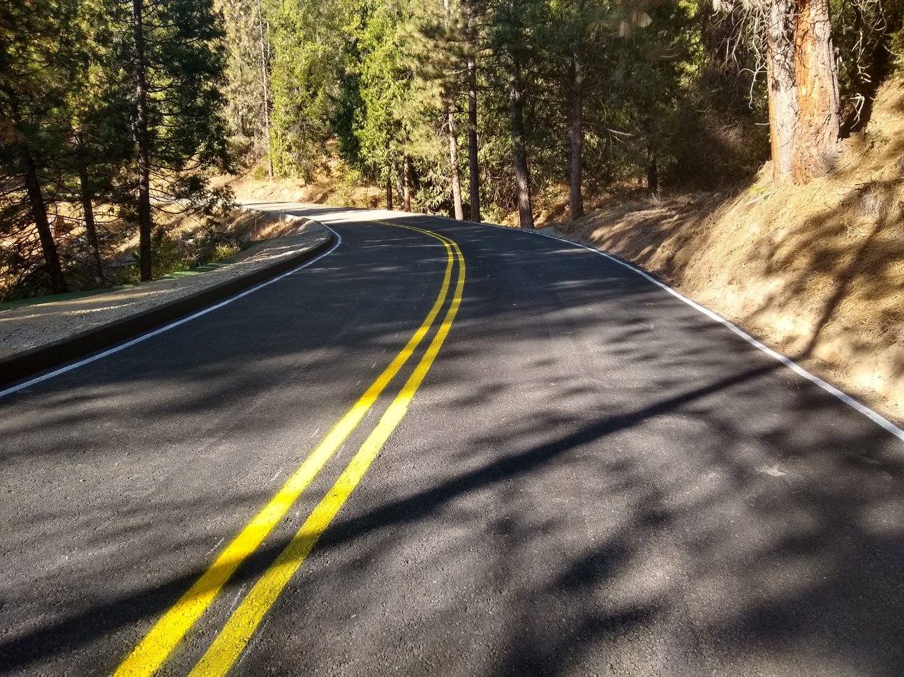
Sierra National Forest Roads
| Status | Road | Seasonal Gate Open Date | Seasonal Gate Close Date | Comments |
|---|---|---|---|---|
| Open | Minarets Road (FR) 81 Sierra Vista Scenic Byway (4S81) | 05/01 | 12/01 | F.O. #: 05-15-00-24-06 CLOSED Beyond Mile High Vista |
| Closed | Beasore (FR 7) from Bass Lake (5S07) | 01/01 | 12/31 | Between its intersections with Forest Road Nos. 5S05 and 4S81 |
| Open | Blue Canyon (10S02) | 01/01 | 12/31 | |
| Open | Big Fir Road (10S13) | 05/01 | 12/01 | |
| Open | Black Rock (11S12) | 01/01 | 12/31 | Above Kings River |
| Open | Central Camp (6S42) | 04/01 | 12/15 | Watch for hazards |
| Closed | Courtright (10S16) | 06/07 | 12/01 | Off of Mckinley Rd |
| Open | Dinkey Creek Road (T1) | 01/01 | 12/31 | Connects 168 to Mckinley Rd |
| Open | Dinkey-Trimmer (10S69) | 05/01 | 12/01 | Dinkey Trimmer Road (between its intersections with Forest Road Nos. 11S91 and 11S02) |
| Closed | Garnet Dike (12S01) | 01/01 | 12/31 | F.O. #: 05-15-00-24-06 CLOSED Between it's intersections w/ FS Rd No. 12So1B & Garnet Dike Trailhead. Rough road, "Trailers Not Advised", Along the Kings River |
| Closed | Grizzly Road (FR 6S01) to (6S71) | 04/15 | 12/01 | Inaccessible |
| Open | Huntington Lake Road (T2) | 05/01 | 12/01 | Closes in winter for OSV/ SNOW |
| Open | Kaiser Pass Road (5S80) | 05/24 | 12/01 | First 5.6 Miles |
| Open | Kaiser Pass Road (5S80) | 05/24 | 12/01 | Opening Second 14.5 Miles - Memorial Weekend |
| Open | McKinley Grove Road (11S40) | 05/01 | 12/01 | |
| Open | Peterson Mill Road (10S02) | 01/01 | 12/31 | |
| Open | Peckinpah-Whisky Falls (FR 8S09) | 05/01 | 12/01 | Watch for hazards |
| Open | Providence Creek (10S17) | 01/01 | 12/31 | |
| Open | Raymond/Goat Meadow (Hwy41) | 04/15 | 12/01 | Pack it in and Pack it out/ No Services - CLOSES WITH SNOW |
| Open | Rock Creek (9S09) | 05/20 | 12/01 | |
| Open | Rodgers Ridge (11S07) | 05/01 | 12/01 | Not maintained, Hazard Trees |
| Closed | Ross Crossing (10S24) | 04/15 | 12/01 | F.O. #: 05-15-00-24-06 CLOSED |
| Closed | San Joaquin Railroad Grade (8S08) | 01/01 | 12/31 | F.O. #: 05-15-00-24-06 CLOSED |
| Open | Sky Ranch Road (FR 10) (6S10) | 01/01 | 12/31 |
Watch for Hazards/ Rough road/ Large Pot Holes |
| Open | Sky Ranch Road/Beasore Loop (6S10X) | 04/15 | 12/15 | Snow - OSV Okay |
| Closed | Stump Springs Road (7S05) | 03/01 | 12/01 | F.O. #: 05-15-00-24-06 CLOSED Between intersection of Huntington Lake Rd & West Kaiser campground |
| Closed | Whisky Falls Road (FR 8S70) | 04/15 | 12/01 | F.O. #: 05-15-00-24-06 CLOSED Between 7S76 & 4S81/Trailers Not Advised |
| Open | Chowchilla Mtn. Road (5S09) | 01/01 | 12/01 | Watch for Hazards/Snow & Mud |
***CONSTRUCTION PROJECTS OCCURRING....
All drivers are reminded to obey all traffic laws in the designated construction zones, and speed limits.
For more information on this project and alternate routes through the forest please contact the Bass Lake Ranger District at 559-877-2218.
For more information on road conditions please contact our Offices.
WINTER DRIVING in the Sierra National Forest, may require tire chains & cables - Be prepared for rapidly changing conditions: Chain control is in effect in the Sierra National Forest when roads are snowy and slippery, which may be any time, usually November through April. State law requires ALL vehicles (including 4-wheel/all-wheel drive) to carry tire chains or cables when entering chain-control areas (CA Vehicle Code, Section 605, Sections 27450-27503). To find more information on current road conditions and chain requirements please follow this link to Caltrans Quick Map.
Alerts & Warnings
- 05-15-00-24-12 SNF-Rec Site Road Trail Forest Order
- 05-15-00-24-14 - Fire Restrictions
- 05-15-52-24-13-SNF Basin Fire Closure
- 05-15-51-24-11 Nelder Grove Historic Area Closure Order
- 05-15-00-24-09-SNF Wilderness Campfire Restrictions Order
- 05-15-00-24-10 SNF Rec Site Road Trail Closure Order
- 05-15-00-24-07-SNF Wilderness Use Restrictions Order
- 05-15-00-24-05-SNF Food Refuse Storage Order
- 05-15-00-23-31-SNF Parking Limits
- 05-15-00-23-30-SNF Camping Limits
- 05-15-00-23-27-SNF-Wilderness Food Refuse Storage