
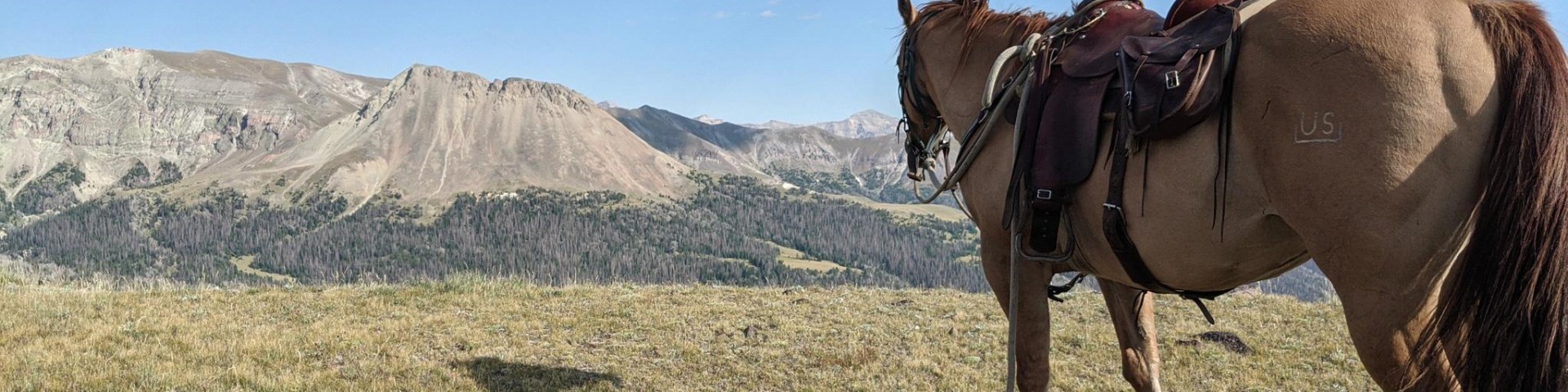
Welcome to Shoshone National Forest
Named after the Shoshoni people who have called this area of northwestern Wyoming home for thousands of years, the Shoshone National Forest is filled with special places. With more than 1.4 million acres of congressionally designated wilderness, the Shoshone National Forest is an integral part of the 10-million acre Greater Yellowstone Ecosystem.
We've got a new look!
In April 2025, we transitioned to a new web platform to better serve the public. With thousands of pages to update, some content may take additional time to appear. Some older content has been archived during this move as well.
We appreciate your patience as we work to make it easier than ever to access information and explore your national forests - both online and on the ground.
If you cannot find what you are looking for, please contact your local Forest Service office or submit your question using the form on our Contact Us page.
Recreation

The Shoshone National Forest offers over 1,300 miles of trails, 32 campgrounds, and 11 picnic sites. Four scenic byways traverse the Forest, offering spectacular views of rugged mountain peaks, expansive plateaus awash in wildflowers, glaciers, rivers and streams, and unparalleled wildlife watching.
Permits
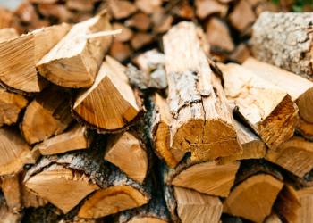
Permits are needed for activities such as collecting firewood, cutting Christmas trees, commercial filming and other special events.
Maps & Publications

The Shoshone National Forest publishes a variety of map products to help you plan and enjoy your visit. Maps and brochures are available online with even more options available at Shoshone National Forest offices.
America the Beautiful Passes

America the Beautiful Passes are a suite of annual and lifetime passes that provides U.S. citizens and visitors an affordable and convenient way to access Federal recreational lands. Up to 100% of the Pass program's proceeds are used to improve and enhance visitor recreation services.