
Welcome to Francis Marion and Sumter National Forests
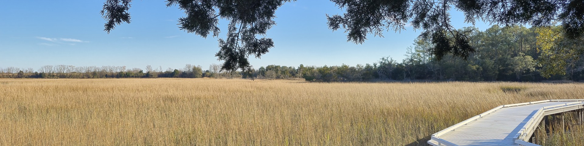
The Francis Marion and Sumter National Forests offer recreational activities as diverse as the terrain--from hiking to explore mountain waterfalls to paddling in low country swamp wilderness.
Four ranger districts span the state of South Carolina: Andrew Pickens in the mountains, Enoree and Long Cane in the piedmont, and Francis Marion on the coast.
Mountain bike the epic Forks Area Trail System on the Long Cane, or paddle and fish the Wild and Scenic Chattooga River on the Andrew Pickens district. Saddle up and explore a horse trail on any district, or unload your ATV or dirt bike and hone your skills on one of four OHV trails. Explore the Intracoastal Waterway from Buck Hall boat launch on the Francis Marion or paddle, hunt or fish the three rivers on the Enoree Ranger District. Nine rifle ranges will help maintain your aim for hunting season.
Find these sites and other hiking trails, campgrounds, picnic areas and more using the free interactive visitor map.