
Welcome to Salmon-Challis National Forest
Each year thousands of visitors come to the Salmon Challis National Forest to enjoy the diverse recreational activities it has come to be known for.
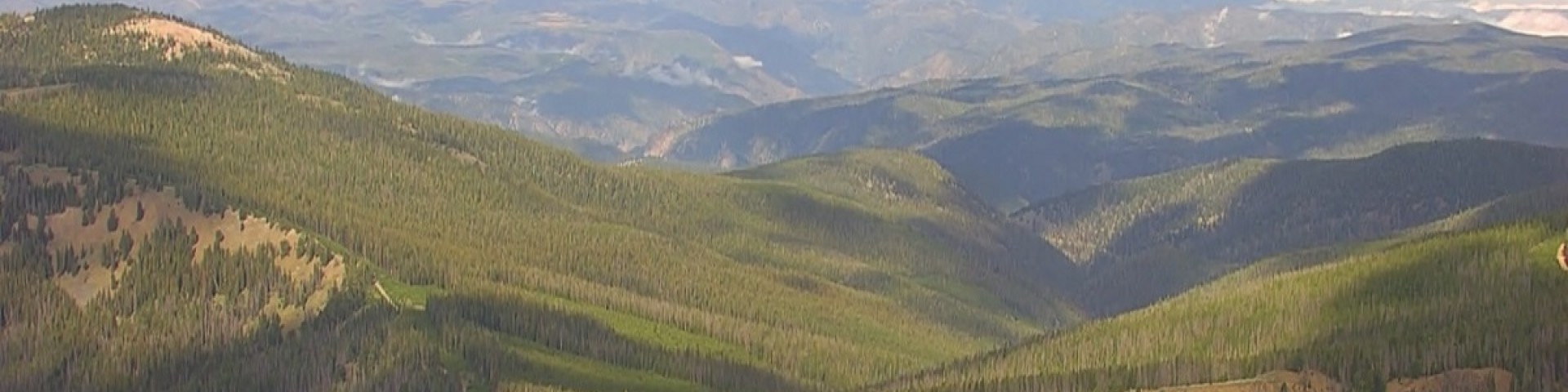
Covering over 4.3 million acres of east-central Idaho, individuals have the opportunity to enjoy the natural landscapes of the Continental Divide, the vast, 1.3 million acres of the Frank Church-- River of No Return Wilderness, the newly designated Jim McClure-Jerry Peak Wilderness, the snow-covered cap of the tallest peak in Idaho, Borah Peak, or the free-flowing waters of the the Wild & Scenic Salmon River and the Middle Fork of the Salmon River.
In 1906 the Salmon River Forest Reserve was established; this was later renamed in 1908 to the Salmon National Forest in order to properly reflect the multiplicity of uses for the region. Later that same year, the Challis National Forest was created.
The Salmon-Challis National Forest asks the public to please recreate responsibly.