
Official websites use .gov
A .gov
website belongs to an official government organization in the
United States.
Secure .gov websites use HTTPS
A lock
(
) or https:// means you've safely
connected to the .gov website. Share sensitive information only
on official, secure websites.


Eastern Region Urban Connections Program
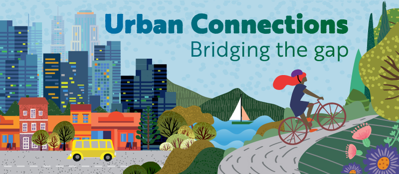
Urban Connections Communities across the Eastern Region
The Urban Connections Program was started in 2001 in the Eastern Region of the USDA Forest Service to reach out to urban communities and build alliances that complement the Forest Service’s mission. At the time, it was recognized that while much of the Region’s population lived in urban areas, urban stakeholders had little awareness of or opportunity to be involved with management of their national forests. The program is unique to the Eastern Region, though other Regions have related programs and ways of interacting with urban populations. The Urban Connections Program stands out within the Forest Service for its focus on working with local organizations, leaders, and community members to develop programming that meets their needs, as well as facilitating connections among partners across different units and branches of the agency.
The program has a strong focus on working with partners to engage diverse and underserved communities. It aims to provide meaningful, nature-based educational programming and experiences that connect urban residents to the green spaces around them and their national forests. The program directly supports the Forest Service's mission and values by working to ensure more people understand the importance of sustaining forests and the benefits they provide and that the benefits, outcomes, and opportunities to participate are made available to all, especially in urban places and with populations that have historically been marginalized or overlooked.
The program currently has Urban Connections City Coordinators in Detroit, Boston, Minneapolis/Saint Paul, Newark, and St. Louis. We also have ongoing partnerships in Chicago and Milwaukee. Explore the map below to learn more about these partnerships. Region-wide and multi-city partnerships are not displayed on the map, but can be found here.
-
Events Calendar

-
Grants and Funding

-
Career Resources

-
Meet Our Team

Learn more about our team and the locations we serve across the Eastern Region.
-
Stewardship Mapping

STEW-MAP stands for The Stewardship Mapping and Assessment Project. To take part in STEW-MAP, a person or group collects data from stewards serving their community. They then use tools and methods developed by Forest Service scientists to map this data to show what groups work where and where no groups are active. Learn more about our team and the locations we serve across the Eastern Region.
-
Urban Connections Photos

Did you miss one of our annual partners meetings or just want to see and hear more about what Urban Connections is all about? Check out our Flickr page to view photos from our meetings and partner events.