Public Lands Information Center - PLIC
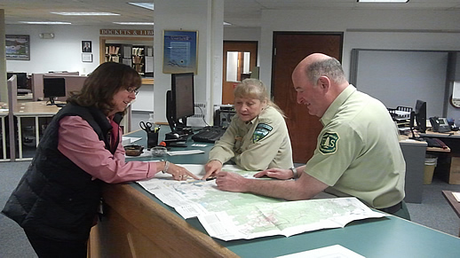
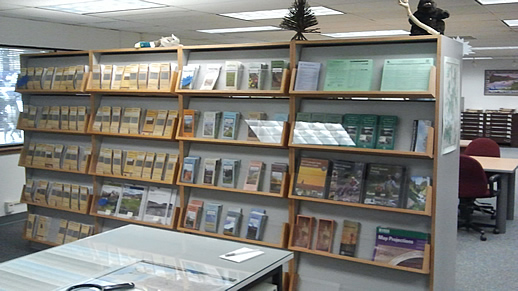
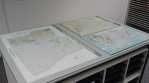
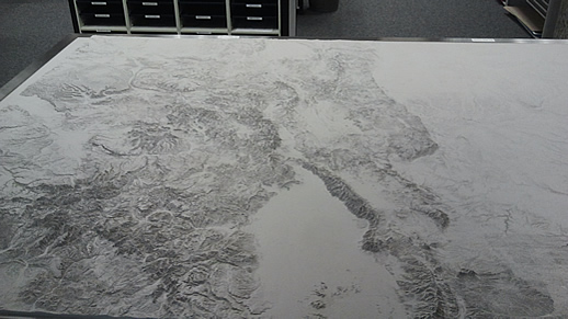
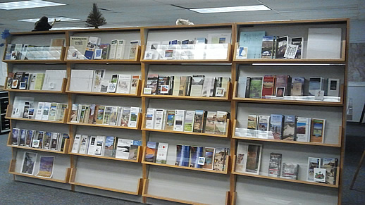
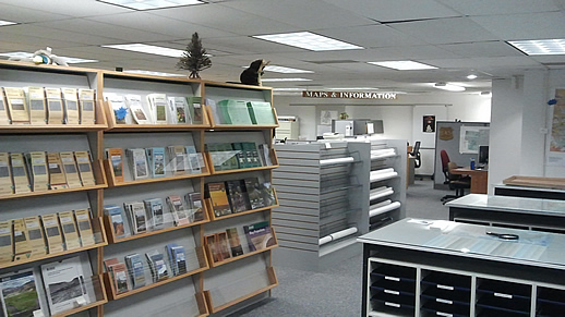
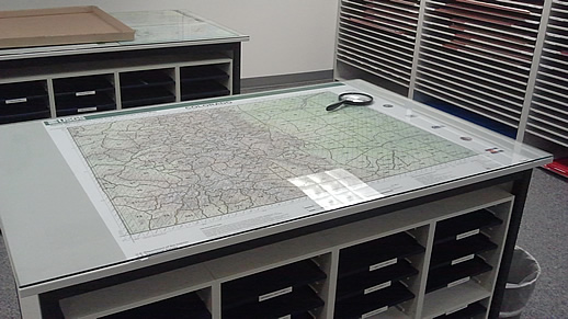
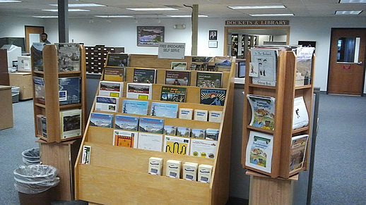
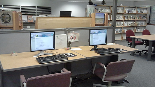
 Welcome to the Public Lands Information Center (PLIC) webpage! The public now has a new walk-in location to view and/or purchase US Forest Service (USFS) Visitor Information maps, Inter-Agency Recreation passes, Bureau of Land Management (BLM) Recreational, Resource and Surface Management Maps, along with a limited number of US Geological Survey (USGS) 7.5 Minute Topographic Maps. Lots of free recreational brochures are available along with the chance to talk with recreation visitor information specialists who'll help you plan your recreation adventure.
Select from the list below to jump to specific land agency products and services:
PLIC General Information
- 2850 Youngfield Street
- Lakewood, Colorado 80215
- Phone: 303-239-3600
- Hours: Monday - Friday, 8:30am - 4pm
USFS Products and Services
USFS Retail Products
- USFS Rocky Mountain Region Visitor Information Maps
- $10 - Weatherproof Plastic
- Inter-Agency Recreation Passes
- Annual Pass [Cost - $80 Annually]
- Annual Military Pass [Cost - Free Annually]
- Senior Pass [Cost - $10 Lifetime]
- Access Pass [Cost - Free Lifetime]
- Live US Forest Service Visitor Information Specialist to help answer any USFS recreation questions
View the USFS Rocky Mountain Regional Office website to view more recreation information
BLM Products and Services
BLM Retail Products
- Colorado BLM Recreational, Resource and Surface Management Maps
- $10 - Weatherproof Plastic
- Inter-Agency Recreation Passes
- Annual Pass [Cost - $80 Annually]
- Annual Military Pass [Cost - Free Annually]
- Senior Pass [Cost - $10 Lifetime]
- Access Pass [Cost - Free Lifetime]
Land Records & Plats
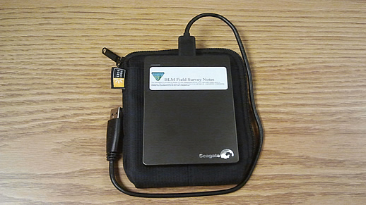
- Cadastral Survey Field Notes - Available on a Seagate Slim Portable Drive (500 GB) for $100. Drive contains GLO/BLM Field Notes and Survey Plats, 1850-present. Field notes contain a complete description of each mile surveyed, every monument set, and every bearing tree scribed. Plats show graphic representation of information contained in the field notes
- Land and Mineral Records System - LR 2000
- GLO Records - Colorado patents, survey plats and notes, and land status records
- Live BLM Recreation Visitor Information Specialist to help answer any BLM recreation questions
View the BLM Colorado State Office website to view more recreation information
USGS Products
USGS Retail Products
- The PLIC only has a limited number of USGS 7.5 Minute Topographic Maps available in-store
- For the time being, the only 7.5 Minute Topographic Maps available in-store are on Colorado public lands west of I-25
- You may want to call ahead to verify the PLIC has the specific USGS topographic map you are interested in, 303-239-3600
- You may also order USGS 7.5 minute Topographic Maps online directly from the USGS online store


