
Official websites use .gov
A .gov
website belongs to an official government organization in the
United States.
Secure .gov websites use HTTPS
A lock
(
) or https:// means you've safely
connected to the .gov website. Share sensitive information only
on official, secure websites.


Southern California
648 Miles
 The PCT begins on a low hill near Campo (elev. 2,600’), a small town near the Mexican border. It passes through Lake Morena County Park and beneath Interstate 8, then climbs through chaparral, scrub oaks, and pines to the rim of the Laguna Mountains.
The trail dips into Anza-Borrego Desert State Park at Scissors Crossing, then winds up, down, and around the San Felipe Hills and lesser mountains of the Cleveland National Forest before crossing Highway 74 at 4,900’ and climbing the backbone of the San Jacinto Mountains.
It reaches its highest point in this section at 9,030’ shortly before it plunges to its lowest, crossing beneath Interstate 10 at elev. 1,190’ in broad San Gorgonio Pass.
From here, the PCT climbs steeply to the crest of two east/west-oriented ranges, often under welcome forest shade. It passes near Big Bear Lake and Lake Arrowhead before crossing Interstate 15 between the San Bernardino and San Gabriel Mountains at Cajon Pass near Silverwood Lake State Recreation Area.
 The vistas from the trail in these mountains include the Los Angeles Basin and Mojave Desert.
To the west of Mt. Baden-Powell and the Angeles Crest National Scenic Byway, it descends to Highway 14 at Agua Dulce, then traverses the often brushy landscape of the Sierra Pelona.
The trail continues north for a generally hot and dry traverse across the San Andreas Fault Zone and the western arm of the Mojave Desert before climbing into the Tehachapi Mountains where it crosses Highway 58 and enters the Sierra Nevada.
The Southern California section ends where the trail crosses Highway 178 at Walker Pass (elev. 5,246’).
Characteristics of this section
 The mountains of this section are bounded by and internally laced with faults that have been active in recent geologic time.
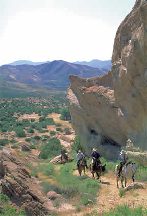
The animals in this section include lizards, rodents, snakes, coyotes, and cougars. Colorful and quick, hummingbirds can also be seen darting about, gathering nectar.
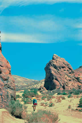
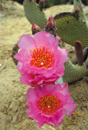
The plants here are generally desert scrub, chaparral, or oak, with forests only at the higher elevations.
Trail-side water is scarce in this section, particularly in the summertime, when temperatures range from the 80s to the low 100s.