
In Michigan's Upper Peninsula!
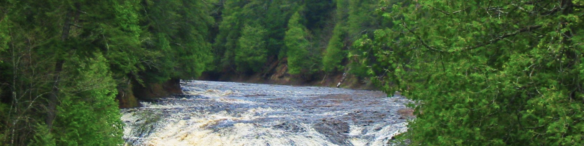
The one million acres of the Ottawa National Forest are located in the western Upper Peninsula of Michigan. The forest extends from the south shore of Lake Superior to the Wisconsin border. The area is rich in wildlife viewing opportunities; breathtaking views of rolling hills dotted with lakes, rivers and waterfalls; and spectacular fall colors. But you have to see it to believe it - come visit the Ottawa!
Orders of the Forest Supervisor
As a visitor to the National Forest, you are asked to follow certain rules designed to protect the Forest and provide public safety for visitors.
Recreation Opportunities

Hiking trails on the Ottawa National Forest offer something for everyone. More than 196 miles of hiking and backpacking trails vary widely in…

The Ottawa National Forest, located in Michigan's Upper Peninsula, is home to over 2,000 miles of streams, including 300 miles of designated National…

The many miles of roads that cross through the Ottawa National Forest provides you with an opportunity to view the tremendous scenery that this area…
Passes and Permits

Maps and Guides

Safety and Ethics

Timber Sales

Waterfalls

J. W. Toumey Nursery
