
Official websites use .gov
A .gov
website belongs to an official government organization in the
United States.
Secure .gov websites use HTTPS
A lock
(
) or https:// means you've safely
connected to the .gov website. Share sensitive information only
on official, secure websites.


Trail Conditions Report
Trail Conditions
This report provides information on trails that have been cleared by Forest Service personnel, contractors, partners and/or volunteers.
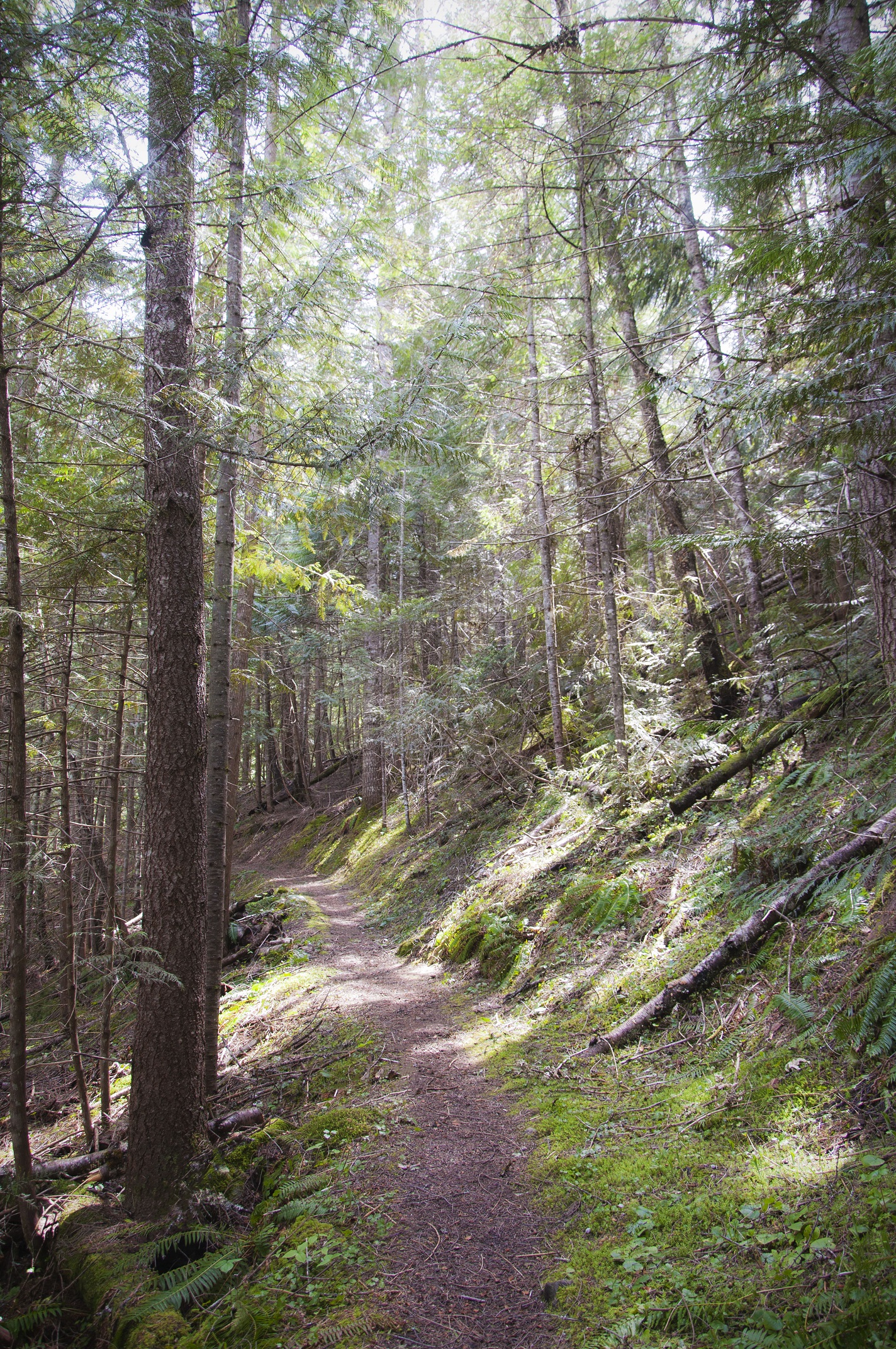
Visitors are welcome to travel on any trails on the National Forest, but need to be aware of the potential for downfall if the trail has not been cleared. Even if trails have been cleared once, there could be new downfall from windstorms and wildfires that have occurred since the trail was cleared. Numerous trails on the Nez Perce-Clearwater National Forests have been impacted by previous wildland fires, winter snow, spring run-off, and wind events. In recently-burned areas, hazards exist and include falling trees, rolling logs and rocks, poor tread, and holes from burned-out stumps. Please consider these hazards when entering the area and make appropriate safety considerations, which may include changing your travel plans. Be aware that conditions may change quickly.
Trail reports are generally updated twice a month from approximately May-September; this can vary from year to year and may differ across districts based on field conditions.
NORTH ZONE TRAILS REPORT
North Fork Ranger District, Palouse Ranger District
CENTRAL ZONE TRAILS REPORT
Lochsa-Powell Ranger District, Moose Creek Ranger District, Selway-Bitterroot Wilderness
SOUTH ZONE TRAILS REPORT
Red River Ranger District, Salmon River Ranger District
The Wallowa-Whitman National Forest of Oregon maintains trail reports for the Hells Canyon Wilderness/Hells Canyon National Recreation Area.
Visitors are encouraged to contact local Ranger District offices for current trail information and for possible closures due to fire.
Key Contacts
Stay Connected with your National Forests!


