
Official websites use .gov
A .gov
website belongs to an official government organization in the
United States.
Secure .gov websites use HTTPS
A lock
(
) or https:// means you've safely
connected to the .gov website. Share sensitive information only
on official, secure websites.


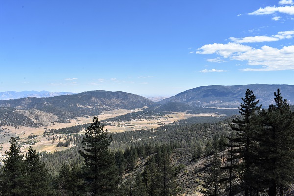
Mount Pinos Ranger District
|
Date: June 19, 2024 Know Before You Go!The Mt. Pinos Ranger District's Visitor Center is open Tuesday - Saturday, 8:00am - 4:00pm. Closed on Sunday and Monday and Federal holidays. Phone: (661) 245-3731 ext. 0 or call (661) 777-2141 WeatherRoad Conditions
Adventure Pass InformationAn Adventure Pass is needed for parking at snow play areas during winter months, approximately December 1 through April 30. There are several small primitive campgrounds on the Mt. Pinos Ranger District that require the Adventure Pass . Valle Vista Campground and Aliso Campground are open year-round. The other Adventure Pass Campgrounds on the Mt. Pinos Ranger District are open approx. May 1 - November 30.
Here is a list of businesses that sell the Adventure Pass in the communities located around the Mt. Pinos Ranger District. (Lebec, Frazier Park, Lake of the Woods, Pine Mountain Club, New Cuyuma and the Nordic Ski Base* - winter only) Forest Orders and RestrictionsDry Canyon Area, Roads and Trails, and Wilderness Closure Order Effective: March 1, 2023, through February 28, 2025 Firearms Prohibition Forest Order: Effective February 15, 2023 through December 31, 2024 Occupancy and Use Forest Order 5-07-00-24-02 effective February 6, 2024 through February 5, 2026 Pursuant to 16 U.S.C. § 551 and 36 C.F.R. § 261.S0(a), and to provide for public safety and protect natural resources, the following act is prohibited within the Los Padres National Forest. This Order is effective from February 6, 2024, through February 5, 2026. 1. Camping: a. in a developed campground, for a period longer than 14 consecutive days or for more than 28 days during a calendar year; or b. anywhere other than a developed campground, for a period longer than seven consecutive days or for more than 21 days during a calendar year. 36 C.F.R. § 261.58(a). |
Road Closures – Including OHV Trails (Roads) |
Open Roads |
** East Dry Canyon including access road, OHV routes and dispersed Dome Springs Camping Area is closed by Forest Order 5-07-57-23-03. |
*Not part of MVUM closure, open year-round |
Closed OHV Trails – Motorcycle/ATV (# Shown are on the MPRD OHV Map)
Open OHV Roads and Trails
- Tinta Trail 24W02 (OHV #101)
- 21W21 Halfmoon OHV #132 Trail
- The western end of 20W07 Piru Creek OHV #128 Trail (between Sunset Campground and the junction with Halfmoon Trail
- Apache Canyon Corridor (103)*
- Arrastra Trail 20W05 (OHV #121)
- Cold Springs Trail 20W04 (OHV #116) width limiter only (gate closed year-round)
- Cuyama River Corridor (102)*
- East Frazier Trail 19W06 (OHV # 120)
- East Tecuya Ridge OHV Trail 20W17 (OHV #117)
- Goldhill Trail 19W17 (OHV #124)
- Long Dave Valley Trail 20W36 (OHV #123)
- Quatal Canyon Corridor (106)*
- Snowy Trail 19W04 (OHV #130)
- Tejon Trail 19W03 (OHV #122)
- Sulphur Spring Canyon (100)*
- Wagon Road Springs (110)*
- West Tecuya Trail 20W17 (OHV #114)
- Whata Trail 20W25 (OHV #131)
- Yellowjacket Trail 20W24 (OHV #126) – West end of trail
*Not part of MVUM closure, open year-round
Trail numbers are from the Mt Pinos Ranger District "Motor Vehicle Opportunity Guide" available online or at the Ranger Station in Frazier Park.
Campground Closures |
Open Campgrounds |
|
*Campgrounds open year-round |


