
Welcome to Idaho Panhandle National Forests
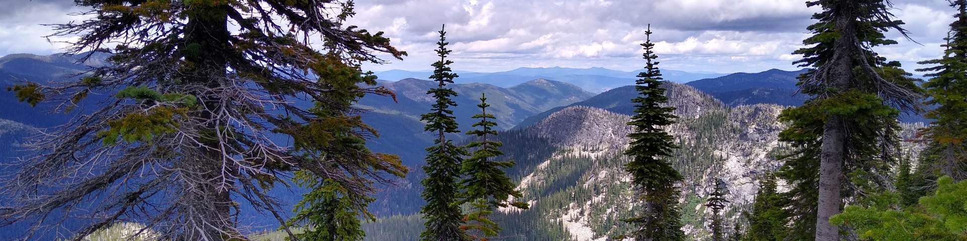
The Idaho Panhandle National Forests create a tapestry of land and water in the panhandle of North Idaho.
Vast lakes and miles of rivers support a world-class fishery. Rich in wildlife, the forest is home to large game such as elk and deer, as well as species such as grizzly bears, wolves, and caribou.
Idaho Panhandle Projects & Plans

Find links to all the planning documents for current and former projects. Submit comments during scoping and open comment periods. View the quarterly Schedule of Proposed Actions.
Vegetation and Fuels Management

Find information on past, current and planned timber sales. Bid on open sales. Find previous bid results, periodic sale announcements, and outyear project planning for the Idaho Panhandle National Forests.
Coeur d'Alene Nursery

The Coeur d'Alene Nursery is a full-service facility that provides bare root and containerized plant stock for publicly owned lands. Along with seed cleaning and storage, the Nursery also provides stock quality testing for the land manager.
Find Your Next Adventure

From hiking to kayaking, mountain biking to motor biking, there is something for everyone
Current Conditions

Avalanche conditions, wildfire activity, and fire restrictions.
Find a Map

Find useful maps at any of our local offices or download them to your smart device.
Get a Permit

Firewood. Christmas trees. Morel mushrooms. Special events or commercial filming. Commercial guiding and summer homes. Find out how to get your permit!
Recreation Passes

Interagency recreation passes include the Annual Pass, Every Kid in a Park 4th grade program, Interagency Military Passes, Senior Passes for persons over 62, and Access Passes for persons with permanent disabilities.
Safety and Outdoor Ethics

Taking care of ourselves and our fellow travelers, while doing what's right for the land and the wildlife, are everyone's jobs. Visit this page for some tips before heading out into the woods.