
Welcome to Grand Mesa, Uncompahgre and Gunnison (GMUG) National Forests
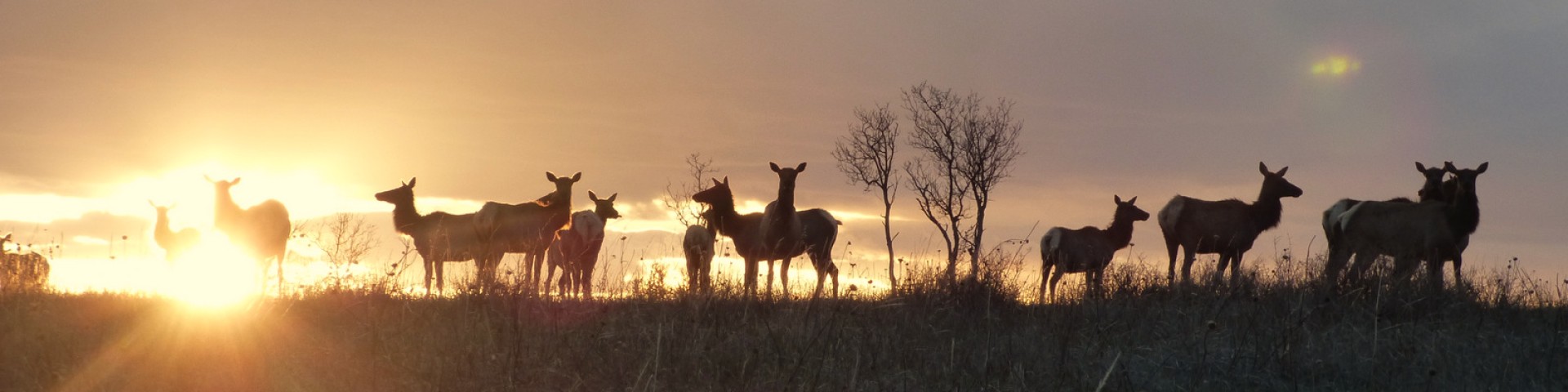
Scenery and an abundance of opportunities for access draw you in, while trails lead the way to the rugged canyons, vast mountains, wildlife and history of the GMUG. Over 3,000 miles of trails and routes—beginner to extreme—provide access to areas of rugged beauty all year long. The mountains, plateau and mesa that make up the GMUG will always offer a scenic backdrop and a unique experience.
We've got a new look!
In April 2025, we transitioned to a new web platform to better serve the public. With thousands of pages to update, some content may take additional time to appear. Some older content has been archived during this move as well.
We appreciate your patience as we work to make it easier than ever to access information and explore your national forests - both online and on the ground.
If you cannot find what you are looking for, please contact your local Forest Service office or submit your question using the form on our Contact Us page.
Recreation

The GMUG offers over 3,000 miles of trails, four scenic byways, five peaks over 14,000 feet in elevation, 10 wildernesses, over 3,600 miles of perennial streams and elevation ranges from 5,800 to 14,309 feet.
Find Your Way

From mobile friendly apps to motor vehicle use maps, help find your way with forest maps and publications for your next journey on the GMUG.
Plan Ahead

Permits are required for activities such as collecting firewood, cutting Christmas trees, commercial filming and other special events.