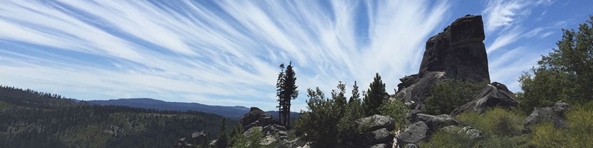
Desolation Wilderness History

[Photo] The Children's Moon hangs low over Mt Price and Lake Aloha.  2001 Amy L. Reid. Native Americans used the area now known as Desolation Wilderness. There is evidence of temporary Washoe Indian encampments at Wright's Lake and other areas, made as groups moved through the area on their summer migration from the Carson Valley. Artifacts such as obsidian arrow points and other evidence, while not abundant, have been documented throughout the area. It is illegal to collect or remove any historic artifact. These artifacts are critical pieces in solving the puzzles of the past. Remember to leave any artifacts you find, record the specific location, and report your find to the nearest Ranger District's archaeologist.

Desolation has a history of European American use dating back to the 1800's. Gold miners explored the granite mountains of the wilderness, but found only a few low-grade ore deposits. From the 1850's to the 1930's cattle were grazed in the Haypress Meadows area and in many other locations in the wilderness. In 1875, the first dam was built on what is now known as "Lake Aloha". From 1934 to 1955 other dams were constructed to stabilize seasonal water flows and provide better year round fish habitat. These "non-conforming" activities were incorporated into the wilderness area when Congress designated it in 1969.

In the earliest days, the area was known as the "Devil's Basin," or "Devil's Valley." Most of the land area that is now wilderness was originally protected from development in 1899 when the General Land Office set the area aside as a Forest Reserve. In 1910, this area became part of the Eldorado National Forest. In 1931, the area was formally designated by Congress as a roadless "Primitive Area" and was called the "Desolation Valley Primitive Area." Finally, in 1969,the 63,690 acres of the Desolation was incorporated into the National Wilderness Preservation System and became Desolation Wilderness.