
Official websites use .gov
A .gov
website belongs to an official government organization in the
United States.
Secure .gov websites use HTTPS
A lock
(
) or https:// means you've safely
connected to the .gov website. Share sensitive information only
on official, secure websites.


Enchanted Circle Landscape

Carson National Forest staff and partners are implementing the Wildfire Crisis Strategy to address the crisis in the places where it poses the most immediate threats to communities. In Northern New Mexico, funding from federal legislation is making a historic investment across what’s called the Enchanted Circle Landscape.
The landscape covers 1.5 million acres of land managed by the Forest Service, tribes, state government and thousands of private land owners. Much of the landscape is within some of the highest-risk firesheds in the nation.
The strategy calls for a science-based approach to make a measurable impact in reducing wildfire risk. Instead of scattering treatments across the landscape, staff and partners are using data to inform where we can make the biggest difference.
About the Landscape
The Enchanted Circle Landscape covers 1.5 million acres in and around the Carson National Forest's Camino Real and Questa ranger districts within Taos and Colfax counties. It's home to a UNESCO World Heritage site (Taos Pueblo), the tallenst peak in New Mexico (Wheeler Peak) and wilderness areas.
Land Ownership within the landscape is approximately:
-
47% - Private Land
-
35% - Carson National Forest
-
8% - Tribes
-
7%- State of New Mexico
-
3% - Bureau of Land Management
Most of the landscape is within high-risk firesheds, which are areas of about 250,000 acres in which an ignition can spread and expose communities to wildfire.
An interactive map showing the landscape and firesheds is available.
Projects
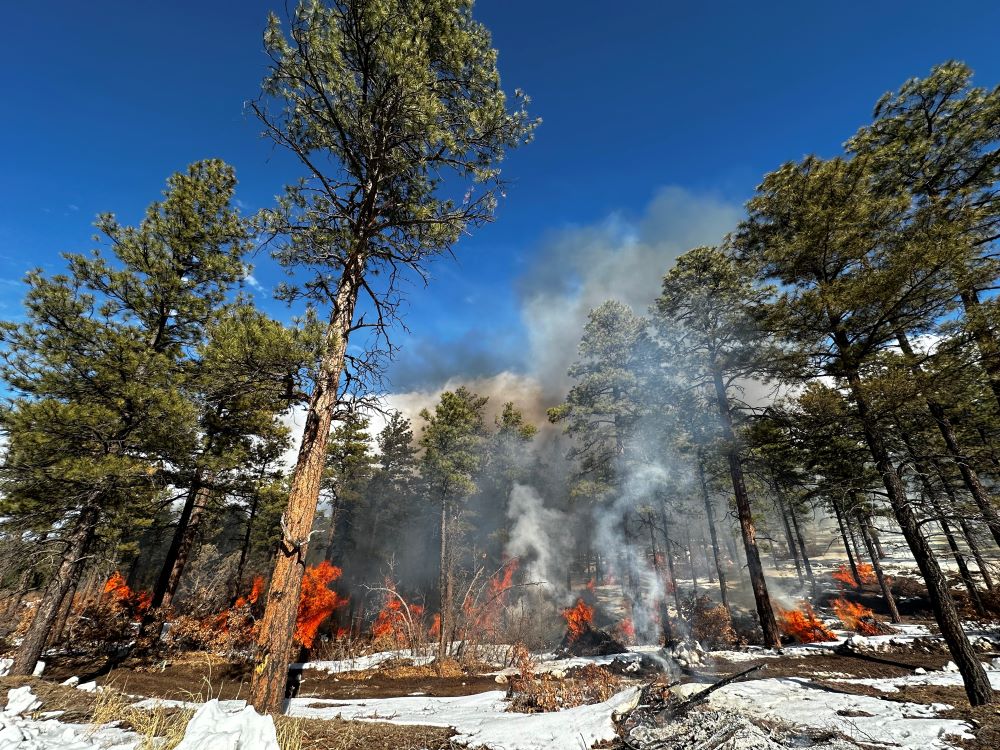
Carson National Forest staff and partners are implementing and planning work within the Enchanted Circle Landscape. To protect communities and natural resources, they are restoring healthy, resilient, fire-adapted forests by using mechanical thinning and returning beneficial fire in these landscapes.
Current Work
In winter 2024, fire crews are pile burning throughout the landscape.
2024 Prescribed Fire Accomplishments To Date
McCrystal Rock (Valle Vidal): 4,076 acres
Kiowa-San Cristobal: 29 acres
Taos Ski Valley: 126 acres
Ojo Sarco: 137 acres
Rio Trampas: 180 acres
Total: 4,548 acres
*Based on the 2024 federal fiscal year, which begins October 1.
Projects
-
Rio Trampas
-
Kiowa-San Cristobal Wildland Urban Interface
-
Highway 150 Corridor Wildland Urban Interface
-
Hermits Peak-Calf Canyon and Luna Post-Fire Recovery
-
Valle Vidal
-
Mayordomo Program
-
McGaffey Forest and Rio Grande del Rancho Watershed Restoration
-
Pueblo Ridge
Planning
Staff and partners are developing proposals throughout the landscape. On Forest Service land, proposals will be analyzed under the National Environmental Policy Act (NEPA).
Partners
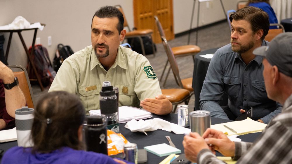
The success of the Wildfire Crisis Strategy relies on strong cross-boundary collaborations leading to reduced risk from wildfire. Partners are working together across the Enchanted Circle Landscape. They include*:
-
Cimarron Watershed Alliance
-
Colfax County
-
National Forest Foundation
-
Philmont Scout Ranch
-
Picuris Pueblo
-
Pueblo Of Sandia
-
State of New Mexico (EMRND, Game and Fish, State Lands Office)
-
Rio Grande Water Fund
-
Taos County
-
Taos Pueblo
-
Taos Valley Watershed Coalition
*Not an exhuastive list
Contact
Landscape Program Manager
Elizabeth Robinson, elizabeth.robinson@usda.gov
(media requests should go to the Public Affairs Office)
Elizabeth Robinson, Carson National Forest
208 Cruz Alta Road
Taos, NM, 87571