
Welcome to the Apache-Sitgreaves National Forests
On April 22, 2025, we transitioned our public websites to a modern web platform to better serve the public. With thousands of pages to update, some content may take longer to appear. Some old content has been archived during this process, as well.
We appreciate your patience as we work to make it easier than ever to access information and explore your national forests—both online and on the ground. Please send us an email using our Contact Us form if there is something you can't find!
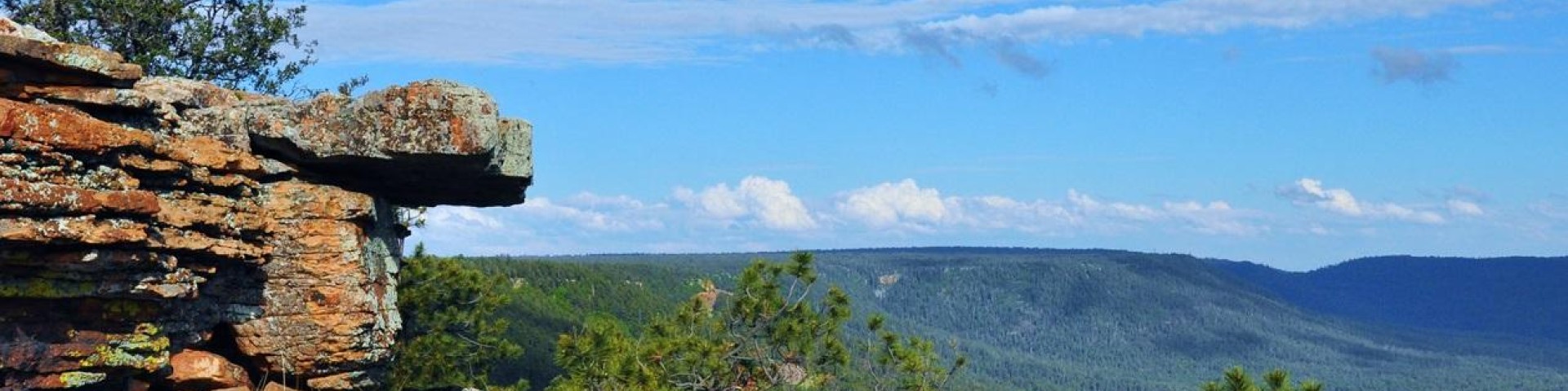
The Forests' elevations range from 3,500 feet on the Clifton Ranger District to over 11,000 feet on the Mount Baldy Wilderness. We are home to a large part of the Mogollon Rim and White Mountains, rich in beauty and tranquility. Water is a major attraction with 24 lakes and reservoirs and more than 400 miles of rivers and streams - more than can be found in any other southwestern forest.