An official website of the
United States government
Here's
how you know
Official websites use .gov A .gov
website belongs to an official government organization in the
United States.
Secure .gov websites use HTTPS A lock
(
) or https:// means you've safely
connected to the .gov website. Share sensitive information only
on official, secure websites.
The U.S. Forest Service conducts controlled burns in the National Forests and Grasslands in Texas from early spring to summer. Maps for planned burns and completed burns may be viewed on the Fire Information page. Knowing where the burned areas are before visiting the forest may be helpful in planning an enjoyable outing.
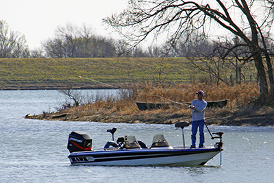
Located in the heart of east Texas, the 153,179-acre Angelina National Forest is located in Angelina, Nacogdoches, San Augustine and Jasper counties. The forest lies in the Neches River Basin and on the north and south shores of Sam Rayburn Reservoir, a 114,500-acre lake on the Angelina River formed by the construction of Sam Rayburn Dam in the early 1960's.
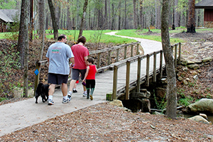
The Caddo and Lyndon B. Johnson (LBJ) National Grasslands are located in two areas northeast and northwest of the Dallas-Fort Worth metroplex. They not only provide grazing land for cattle and habitat for wildlife, but offer a variety of recreation. The most popular activities are hiking, camping, fishing, hunting, horseback riding, mountain biking, wildlife viewing, and photography.
The Davy Crockett National Forest, named for the legendary pioneer, contains more than 160,000 acres of East Texas woodlands, streams, recreation areas, and wildlife habitat. Located in Houston and Trinity Counties, the forest is centrally located within the Neches and Trinity River basins. The Davy Crockett National Forest was proclaimed a National Forest by President Franklin Roosevelt on October 15, 1936.
Located in the pineywoods of east Texas, the 160,656-acre Sabine National Forest is the easternmost of the four national forests in Texas and forms part of the boundary between Texas and Louisiana. The forest is situated on the western slopes of the Sabine River watershed within Sabine, San Augustine, Shelby, Jasper, and Newton counties.
Sam Houston National Forest, one of four National Forests in Texas, is located 50 miles north of Houston. The forest contains 163, 037 acres between Huntsville, Conroe, Cleveland and Richards, Texas. With land in Montgomery, Walker, and San Jacinto counties, the Sam Houston National Forest is intermingled with privately owned timber lands and small farms.