
Official websites use .gov
A .gov
website belongs to an official government organization in the
United States.
Secure .gov websites use HTTPS
A lock
(
) or https:// means you've safely
connected to the .gov website. Share sensitive information only
on official, secure websites.


Day Hiking
From short waterfront forays to steep ascents, Columbia River Gorge National Scenic Area offers breathtaking views, many of which are perfect for short day hikes. The trails listed here represent the shortest exursions in the Gorge. For longer trails and extended trips, please explore our list of Backpacking trails.
We hope you enjoy our spectacular scenery, as it is one of the unique resources that we work hard to protect! You can also help us protect natural resources by staying on the trail. Cutting shortcuts (or switchbacks) can damage plants and lead to erosion.
Day Hiking Areas
- Angel's Rest Trail (#415)
- Balfour-Klickitat Area & Trail (#4414)
- Bonneville Trailhead
- Tamanous Trail (#27)
- Cape Horn Overlook
- Cape Horn Trail (#4418)
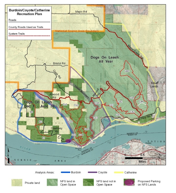
- Catherine Creek Recreation Area
- Catherine Creek Interpretive Trail (#4400)
- Catherine Creek Loop
- Coyote Wall Recreation Area
- Coyote Wall Trail (#4428)
- Labyrinth Trail (#4423)
- Little Maui Trail (#4425)
- Little Moab Trail (#4425)
- Old Ranch Road Trail (#4426)
- Raptor Trail (#4421)
- Upper Labyrinth (#4424)
- Dog Mountain
- Augspurger Trail (#4407)
- Dog Mountain Trail (#147)
- Dog-Augspurger Tie Trail
- Eagle Creek Campground
- Buck Point Trail (#439)
- Eagle Creek Day Use Area
- Eagle Creek Trailhead & Trail (#440)
- Lower Punchbowl Trail (#440B)
- Ruckel Creek Trail (#405)
- Shady Glen Trail (#402A)
- Wauna Viewpoint Trail (#402)
- Eagle Creek Overlook Group Campground
- Gorge 400 Trail
- Gorge 400 (MP 0 - 12.5) Angels Rest to Ainsworth
- Gorge 400 (MP 15 - 19.5) John Yeon to Wahclella
- Gorge 400 (MP 19.5 - 22.5) Wahclella to Eagle Crk
- Gorge 400 (MP 22.5 - 25) Eagle Cr to Cascade Locks
- Gorge 400 (MP 25 - 35) Cascade Locks to Wyeth
- Herman Creek Trailhead
- Deadwood Trail (#422)
- Gorton Creek Trail (#408)
- Herman Bridge Trail (#406E)
- Herman Creek Trail (#406)
- Nick Eaton Trail (#447)
- Ridge Cutoff Trail (#437)
- Historic Columbia River Highway
- HCRH State Trail - Cascade Locks to John Yeon
- HCRH State Trail - Twin Tunnels Segment
- HCRH State Trail - Wyeth to Viento
- Horsetail Falls & Trail (#438)
- Klickitat Trail
- Lyle Trailhead
- Larch Mountain
- Larch Mountain Trail (#441)
- Multnomah Creek Way Trail (#444)
- Sherrard Point Trail (#443)
- Mark O. Hatfield Wilderness: Columbia Gorge
- Moffett Creek Trail (#430)
- Mount Defiance Trail (#413)
- Nesmith Point Trail (#428)
- Starvation Ridge Trail (#414)
- Tanner Butte Trail (#401)
- Multnomah Falls
- Oneonta Trailhead
- Bell Creek Trail (#459)
- Franklin Ridge Trail (#427)
- Horsetail Creek Trail (#425)
- Oneonta Trail (#424)
- Pacific Crest National Scenic Trail (#2000)
- Bridge Of The Gods Trailhead
- Pacific Crest Trail #2000 - Oregon
- Pacific Crest Trail #2000 - Washington
- River Front Trail (#4406)
- Sams Walker Day Use Area & Trail (#4402)
- Sandy River Delta
- Skamania Lodge
- St. Cloud Day Use Area & Trail (#4410)
- Wahclella Falls Trail (#436)
- Wahkeena Falls
- Devils Rest Trail (#420C)
- Return Trail (#442)
- Vista Point Trail (#419)
- Wahkeena Trail (#420)
- White Salmon Wild & Scenic River
- BZ Launch Site & Trail (#4413)
- Wyeth Campground
- Wyeth Trail (#411)

