
Recreation
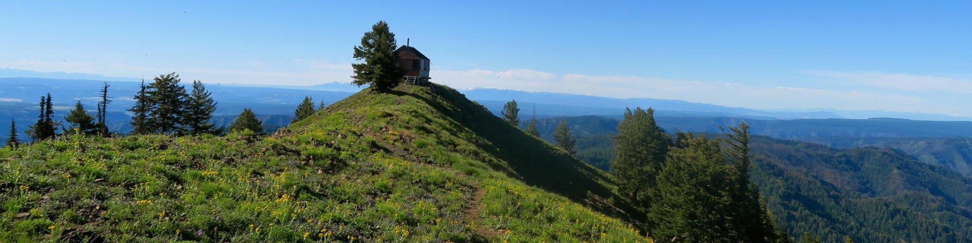
Umatilla National Forest, spanning over 1.4 million acres in the Blue Mountains of northeastern Oregon and southeastern Washington, is a prime destination for outdoor recreation. With its diverse landscape of rugged mountains, deep river canyons, and heavily timbered slopes, the forest offers a wide range of activities for nature enthusiasts. Visitors can enjoy hiking, camping, fishing, hunting, and wildlife viewing, while winter months bring opportunities for snowshoeing, snowmobiling and more. The Forest's numerous trails, rivers, and scenic byways make it an ideal location for adventure seekers!
Visit our Safety and Outdoor Ethics webpage to learn about recreation tips, winter safety, drone usage and more!
Looking for accessible outdoor recreation opportunities? Visit the interactive map tool!

The North Fork John Day District is 465,000 acres in the heart of the Blue Mountains.
The Pomeroy Ranger District, the northern-most District of the Umatilla National Forest, is located within the Blue Mountains of southeastern Washington and northeastern Or
The Walla Walla Ranger District stretches from Dayton, WA, to the north to I-84 and Meacham, OR, to the south, Elgin, OR, and the Grande Ronde River to the east and the Con