
Recreation
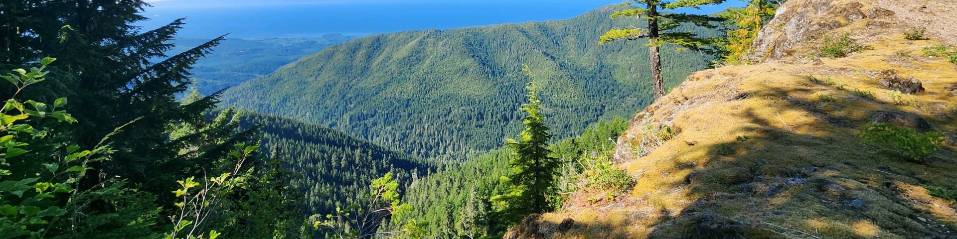
The Olympic National Forest offers diverse recreation opportunities for everyone. Experience the rushing rivers, coastal rain forests, alpine wildflowers and views of the Puget Sound from mountain peaks. Wilderness areas offer solitude and a chance to experience the rich biodiversity of the Olympic Peninsula.
Trails pages are currently not available. In the mean time, many of our fantastic partners do have resources on their websites to help you plan your trip. We recommend checking the trailhead pages below for the authoritative information on pass and fee requirements, closures, and other rules. You may also visit one of our partners' pages for more information on conditions and what to expect. The Forest Service does not monitor or validate the information on these partner pages, and most rely on user input, so please use caution and prepare for all possible conditions.
Washington Trails Association hiking guides and trip reports have information on most non-motorized trails across the forest.

The Forks area of the Olympic National Forest spans the inland northwest portion of the peninsula near Forks, Washington.

The Hood Canal area of the Olympic National Forest spans the inland southeast portion of the Olympic Peninsula in Mason County, Washington.
A true vision of a Pacific Northwest forest, the Quilcene area is home to big trees, rushing rivers and rolling fog lines.
The Quinault area of the Olympic National Forest spans the inland southwest portion of the Olympic Peninsula north of Grays Harbor, Washington.