
Recreation


9715 Access Snow Trail
9715 Access Trail is a winter use trail. It is a groomed multi-use trail that is maintained by the Chiloquin Ridge Riders Snowmobile Club.
Annie Creek Sno-Park
Site Open
Annie Creek Sno-Park is located 43 miles northwest of Klamath Falls, Oregon, near the Crater Lake National Park boundary. Its proximity is rich with history, as Fort Klamath lies less than 10 miles…
Antler Horse Camp
Site Open
Antler Camp is located 50 minutes southwest of Silver Lake, Oregon. Besides horseback riding, there are opportunities for hiking, mountain biking, and photography in this rugged mountain…
Aspen Cabin Recreation Rental
Site Open
Aspen Cabin is a historic log cabin encircled by a split rail fence and is tucked away in a forest of fir, pine, and aspen in the North Warner Mountains. Wildflowers, such as Indian Paintbrush, Camas…
Aspen Point Campground @ Lake of the Woods
Site Open
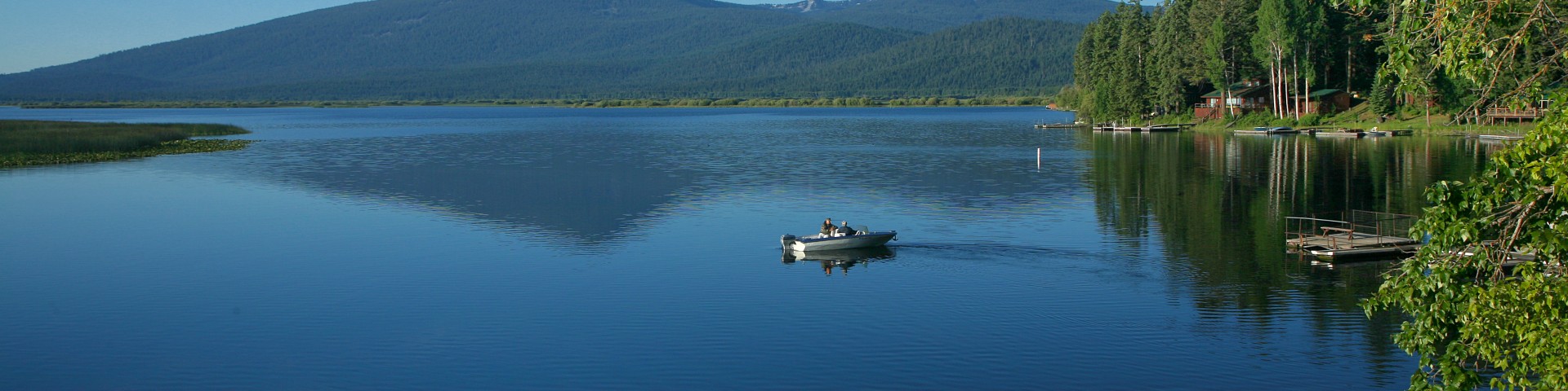
Located approximately 40 minutes west of Klamath Falls Oregon, Aspen Point Campground offers many amenities. This scenic campground is located on the northeast shore of Lake of the Woods. It…
Aspen Point Day Use Area & Boat Launch
Site Open
Located approximately 40 minutes west of Klamath Falls Oregon, Aspen Point Day Use Area offers many amenities. This scenic day use area is located on the northeast shore of Lake of the Woods. It…
Badger Lake Trail #3759
The Badger Lake Trail provides access to Pacific Crest National Scenic Trail #2000 and Sky Lakes Wilderness from Fourmile Lake. From Fourmile Lake the 5.2-mile trail enters Sky Lakes Wilderness and…
Bald Butte Lookout Recreation Rental
Site Closed
Bald Butte Lookout, located one hour twenty minutes southwest of Paisley, Oregon, is perched atop the windy summit of Bald Butte in the Fremont-Winema National Forest. It is surrounded by forested…
Big Mac Nordic Trail
The Big Mac Ski Trail is a non-motorized trail designated for cross country, Nordic skiing, snowshoeing, skijoring or any kind of exercise you’d like…(as long as it’s not motorized).
Big Meadow Snow Trail
The Big Meadow Trail is a winter use trail. It is a groomed multi-use trail that is maintained by the Klamath Basin Snowdrifters Snowmobile Club.