
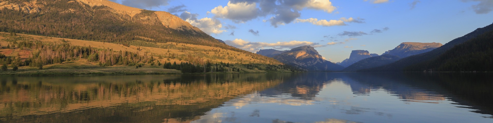
Recreation
The Bridger-Teton National Forest offers a vast landscape of diverse recreational opportunities, from rugged backcountry adventures to family-friendly campgrounds. Whether you're looking to hike through scenic alpine meadows, fish in pristine mountain lakes, or enjoy a quiet night under the stars, the forest has something for everyone.
Absaroka Ridge Trailhead
The Absorka Ridge Trailhead is located on Forest Road #10166 off the La Barge Creek Road. Absorka Ridge Trailhead provides access to Trail # 020 and 021. Trail #020 stays on the west side of Absaroka…
Afton Rest Area Interpretive Site
Forest Service information, including a district map and summer or winter travel opportunities is provided on a kiosk. The Town of Afton offers a trailer dump station and garbage dumpsters at this…
Allred Flat Campground
Site Open
Allred Flat Campground is located approximately 20 miles south of Afton, Wyoming on the south side of Salt River Pass. The campground is adjacent to Little White Creek, with beaver ponds and…
Allred Flat Group Picnic Site
The Allred Flat Group Picnic Area is located on the south side of Salt River Pass at an elevation of 6,500 feet, approximately 21 miles from Afton, Wyoming.This group picnic site, located only 1/2…
Alpine Visitor Center
Site Open
The Alpine visitor center is located off Highway 89 in Alpine, Wyoming.Situated at the confluence of the Greys and Snake Rivers, recreationists can come in and learn about the area, the beautiful…
Angles Trailhead
The Angles Trailhead is located behind Togwotee Mountain Lodge off of Forest Service Road 30040 approximately 9 miles from the Blackrock Ranger Station; though it is not an official campground there…
Arrow Trail
Difficulty: Beginner/Intermediate Trail Use: HeavyLength: 4.5 miles from Phillips Trailhead to jct with Phillips Canyon Trail #4001Elevation: 7857 ft at Phillips Trailhead, 7717 ft at jct with…
Astoria Boating Site
Astoria Boat Ramp is the first boat ramp south of Hoback Junction that is available for boat launching. This boat ramp is primitive in design and is primarily used by visitors looking for scenic…
Atherton Creek Boating Site
The Atherton Creek Boating Site is the main boating access for Slide Lake, located within the Atherton Creek Campground. It is located at the end of the paved portion of the Gros Ventre Road, where a…
Atherton Creek Campground
Site Open
Atherton Creek Campground is located on Lower Slide Lake. This is a beautiful and quiet camping location where you can quickly and easily get away from the hustle and bustle of Grand Teton National…